Moulden Suburbs & Region, Moulden Map & Postcodes
Moulden Suburbs & Region, Moulden Map & Postcodes in Moulden, Palmerston, Darwin, NT, AU
Moulden Region
Region Name
Moulden (NT, AU)Moulden Area
1.75 square kilometers (1.75 ㎢)Postal Codes
0830 (In total, there are 1 postcodes in Moulden.)Moulden Suburb Area Map (Polygon)

Moulden Introduction
Moulden is a suburb of Darwin in the Northern Territory of Australia. It is located in the City of Darwin local government area. Moulden is a popular residential area due to its proximity to the Darwin CBD, beaches, and recreational facilities. The suburb has a variety of housing options, including single-family homes, apartments, and townhouses. Moulden also has a number of schools, including Moulden Primary School and Moulden Secondary College. The suburb is well-connected to other parts of Darwin via the Stuart Highway and has a bus service that runs regularly throughout the day.Australia State
City or Big Region
Greater Capital City
Greater Darwin (7GDAR)District or Regional Area
Suburb Name
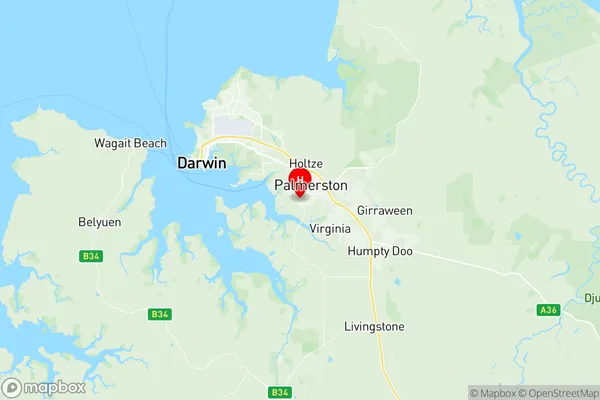
Moulden Region Map
Moulden Postcodes / Zip Codes
Moulden Suburbs
Moulden full address
Moulden, Palmerston, Darwin, Northern Territory, NT, Australia, SaCode: 701041040Country
Moulden, Palmerston, Darwin, Northern Territory, NT, Australia, SaCode: 701041040
Moulden Suburbs & Region, Moulden Map & Postcodes has 0 areas or regions above, and there are 1 Moulden suburbs below. The sa2code for the Moulden region is 701041040. Its latitude and longitude coordinates are -12.51,130.976. Moulden area belongs to Australia's greater capital city Greater Darwin.
Moulden Suburbs & Localities
1. Moulden