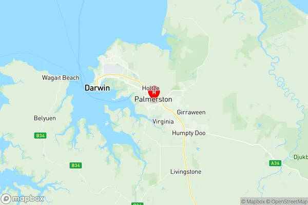
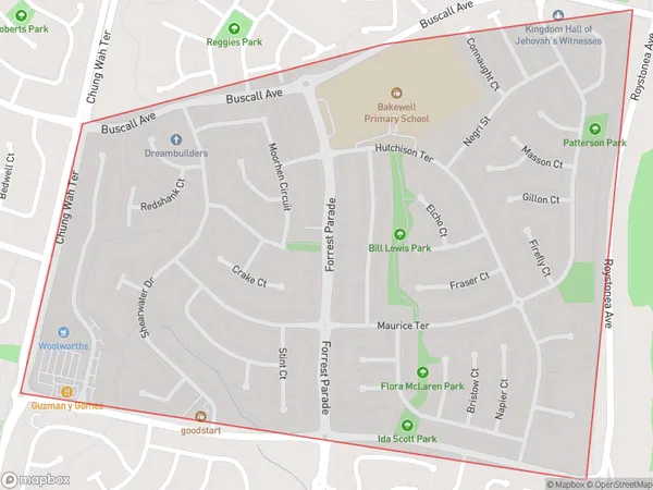
Bakewell Suburbs & Region, Bakewell Map & Postcodes
Bakewell Suburbs & Region, Bakewell Map & Postcodes in Bakewell, Palmerston, Darwin, NT, AU
Bakewell Region
Region Name
Bakewell (NT, AU)Bakewell Area
1.32 square kilometers (1.32 ㎢)Postal Codes
0832 (In total, there are 1 postcodes in Bakewell.)Bakewell Introduction
Bakewell is a small town in the Northern Territory of Australia located about 125 miles northeast of Darwin. It is situated in the MacDonnell Ranges and is known for its historic buildings, including the Bakewell Hotel, which was built in 1886. The town is also home to the Bakewell Conservation Reserve, which is a protected area that covers over 1,000 hectares and is home to a variety of wildlife, including kangaroos, wallabies, and emus. The town has a population of around 1,000 people and is a popular stopover for tourists traveling to the Northern Territory.Australia State
City or Big Region
Greater Capital City
Greater Darwin (7GDAR)District or Regional Area
Suburb Name
Bakewell Region Map

Bakewell Postcodes / Zip Codes
Bakewell Suburbs
Bakewell full address
Bakewell, Palmerston, Darwin, Northern Territory, NT, Australia, SaCode: 701041036Country
Bakewell, Palmerston, Darwin, Northern Territory, NT, Australia, SaCode: 701041036
Bakewell Suburbs & Region, Bakewell Map & Postcodes has 0 areas or regions above, and there are 1 Bakewell suburbs below. The sa2code for the Bakewell region is 701041036. Its latitude and longitude coordinates are -12.4987,130.993. Bakewell area belongs to Australia's greater capital city Greater Darwin.
Bakewell Suburbs & Localities
1. Bakewell
