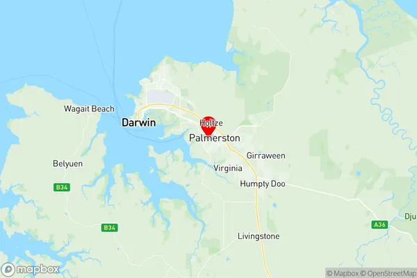
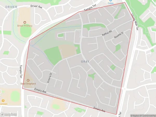
Gray Suburbs & Region, Gray Map & Postcodes
Gray Suburbs & Region, Gray Map & Postcodes in Gray, Palmerston, Darwin, NT, AU
Gray Region
Region Name
Gray (NT, AU)Gray Area
1.5 square kilometers (1.5 ㎢)Postal Codes
0830 (In total, there are 1 postcodes in Gray.)Gray Introduction
Gray is a locality in the Northern Territory of Australia. It is located about 125 kilometers northeast of the territory capital of Darwin. The town is situated on the Stuart Highway and is a popular stopover for travelers heading to the Northern Territory's top tourist destinations, including Kakadu National Park and Litchfield National Park. Gray has a population of around 1,000 people and is home to a variety of businesses and services, including a hotel, a supermarket, and a petrol station. The town is also a popular base for exploring the surrounding region, with many scenic drives and hiking trails nearby.Australia State
City or Big Region
Greater Capital City
Greater Darwin (7GDAR)District or Regional Area
Suburb Name
Gray Region Map

Gray Postcodes / Zip Codes
Gray Suburbs
Gray full address
Gray, Palmerston, Darwin, Northern Territory, NT, Australia, SaCode: 701041039Country
Gray, Palmerston, Darwin, Northern Territory, NT, Australia, SaCode: 701041039
Gray Suburbs & Region, Gray Map & Postcodes has 0 areas or regions above, and there are 1 Gray suburbs below. The sa2code for the Gray region is 701041039. Its latitude and longitude coordinates are -12.4922,130.979. Gray area belongs to Australia's greater capital city Greater Darwin.
Gray Suburbs & Localities
1. Gray
