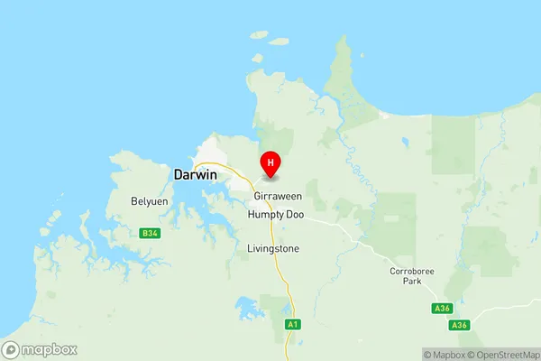
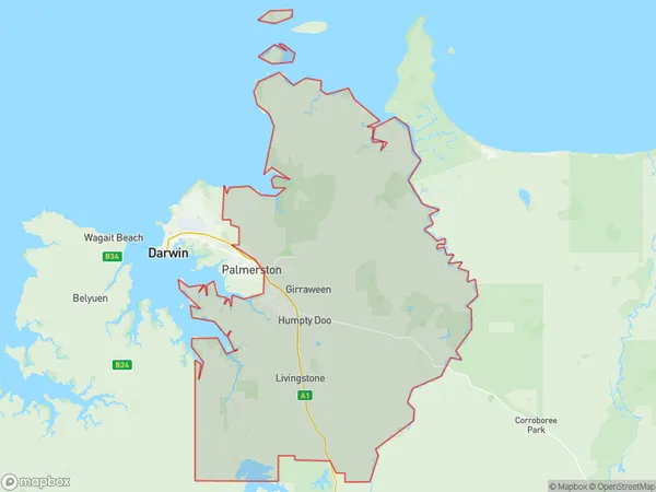
Litchfield Suburbs & Region, Litchfield Map & Postcodes
Litchfield Suburbs & Region, Litchfield Map & Postcodes in Litchfield, Darwin, NT, AU
Litchfield Region
Region Name
Litchfield (NT, AU)Litchfield Area
2939 square kilometers (2,939 ㎢)Litchfield Introduction
Litchfield National Park is a national park located in the Northern Territory of Australia, 125 miles southwest of Darwin. The park is known for its lush tropical forests, waterfalls, and swimming holes. It is home to a variety of wildlife, including kangaroos, wallabies, and crocodiles. The park is also home to the Litchfield Falls, which are the highest single-drop waterfalls in Australia. Visitors can explore the park on foot, by car, or by boat. Camping is available in the park, and there are several lodges and resorts located nearby.Australia State
City or Big Region
District or Regional Area
Litchfield Region Map

Litchfield Suburbs
Howard Springs
Litchfield full address
Litchfield, Darwin, Northern Territory, NT, Australia, SaCode: 70103Country
Litchfield, Darwin, Northern Territory, NT, Australia, SaCode: 70103
Litchfield Suburbs & Region, Litchfield Map & Postcodes has 4 areas or regions above, and there are 0 Litchfield suburbs below. The sa3code for the Litchfield region is 70103. Its latitude and longitude coordinates are -12.4779,131.07.
