Manton Area, Manton Postcode(0837) & Map in Manton, Darwin, NT
Manton Area, Manton Postcode(0837) & Map in Manton, Darwin, NT, AU, Postcode: 0837
Manton, Weddell, Litchfield, Darwin, Northern Territory, Australia, 0837
Manton Postcode
Area Name
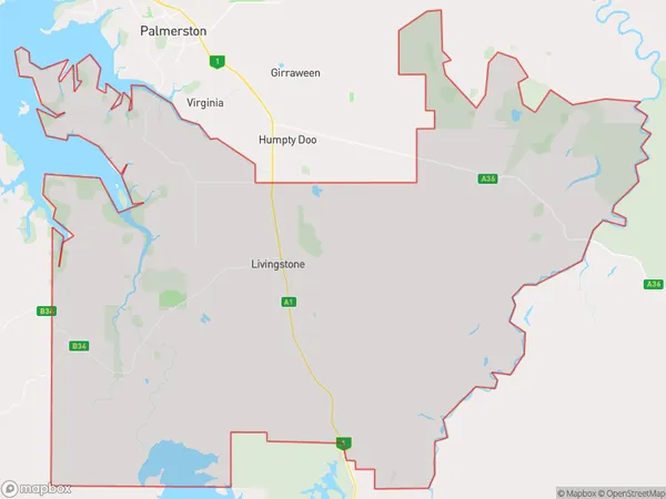
MantonManton Suburb Area Map (Polygon)

Manton Introduction
Manton is a small rural community in the Northern Territory of Australia, located approximately 25 kilometers south of Darwin. It is a popular stopover for tourists traveling to Kakadu National Park and the Katherine Gorge. The community has a primary school, a post office, a general store, and a community hall. Manton is also home to a number of historic buildings, including the Manton Homestead, which was built in the 1880s.State Name
City or Big Region
District or Regional Area
Suburb Name
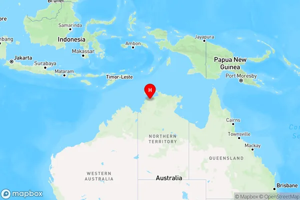
Manton Region Map

Country
Main Region in AU
R1Coordinates
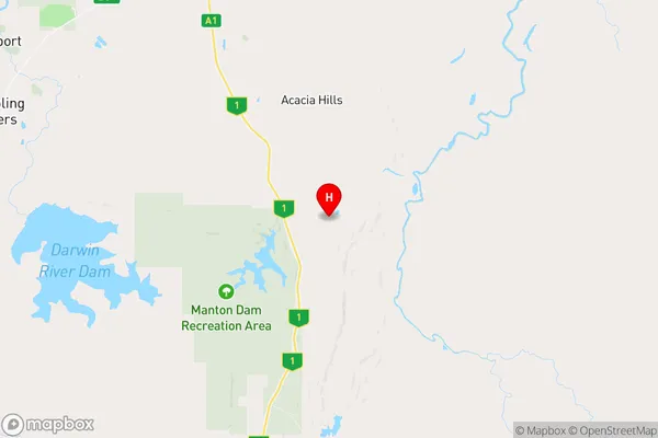
-12.8316015,131.1604226 (latitude/longitude)Manton Area Map (Street)

Longitude
131.016647Latitude
-12.704767Manton Elevation
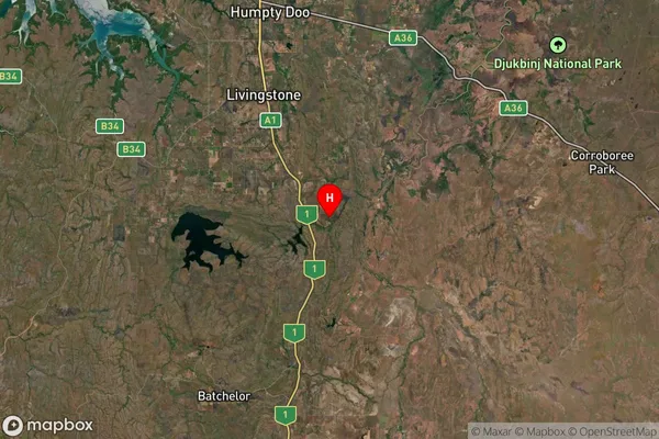
about 26.70 meters height above sea level (Altitude)Manton Suburb Map (Satellite)

Distances
The distance from Manton, Darwin, NT to AU Greater Capital CitiesSA1 Code 2011
70103103506SA1 Code 2016
70103103513SA2 Code
701031035SA3 Code
70103SA4 Code
701RA 2011
3RA 2016
3MMM 2015
5MMM 2019
5Charge Zone
NT1LGA Region
LitchfieldLGA Code
72300Electorate
Lingiari