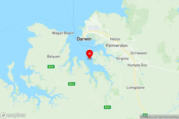
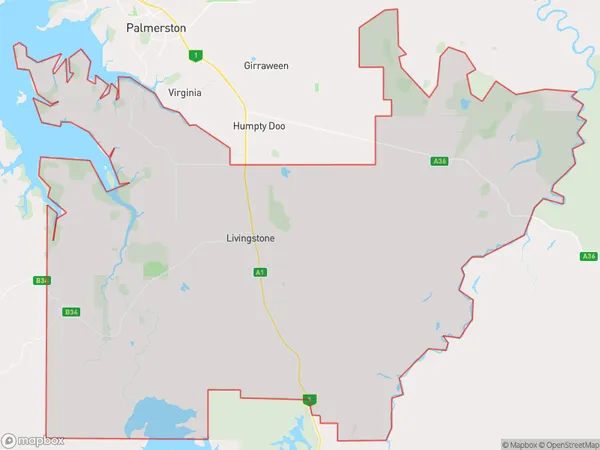
Weddell Suburbs & Region, Weddell Map & Postcodes
Weddell Suburbs & Region, Weddell Map & Postcodes in Weddell, Litchfield, Darwin, NT, AU
Weddell Region
Region Name
Weddell (NT, AU)Weddell Area
1409 square kilometers (1,409 ㎢)Postal Codes
0822, 0837, 0838, and 0841 (In total, there are 4 postcodes in Weddell.)Weddell Introduction
Weddell is a small township in the Northern Territory of Australia. It is located about 125 kilometers northeast of Darwin in the Northern Territory's East Arnhem region. The town is situated on the banks of the Weddell River, a tributary of the Macdonnell River. Weddell is primarily a farming community, with crops such as cotton, wheat, and cattle being the main sources of income. The town has a population of around 100 people and is served by a local airstrip and a primary school. The nearby Weddell Sea provides a rich fishing environment, and the town is also home to a number of historic sites, including the Weddell Caves, which are a popular tourist attraction.Australia State
City or Big Region
Greater Capital City
Greater Darwin (7GDAR)District or Regional Area
Suburb Name
Weddell Region Map

Weddell Postcodes / Zip Codes
Weddell Suburbs
Weddell full address
Weddell, Litchfield, Darwin, Northern Territory, NT, Australia, SaCode: 701031035Country
Weddell, Litchfield, Darwin, Northern Territory, NT, Australia, SaCode: 701031035
Weddell Suburbs & Region, Weddell Map & Postcodes has 0 areas or regions above, and there are 19 Weddell suburbs below. The sa2code for the Weddell region is 701031035. Its latitude and longitude coordinates are -12.5532,130.866. Weddell area belongs to Australia's greater capital city Greater Darwin.
Weddell Suburbs & Localities
1. Hughes
2. Lambells Lagoon
3. Lloyd Creek
4. Middle Point
5. Tumbling Waters
6. Wak Wak
7. Weddell
8. Manton
9. Darwin River
10. Acacia Hills
11. Southport
12. Channel Island
13. Fly Creek
14. Black Jungle
15. Blackmore
16. Livingstone
17. Wickham
18. Noonamah
19. Berry Springs
