Fly Creek Area, Fly Creek Postcode(0822) & Map in Fly Creek, Darwin, NT
Fly Creek Area, Fly Creek Postcode(0822) & Map in Fly Creek, Darwin, NT, AU, Postcode: 0822
Fly Creek, Weddell, Litchfield, Darwin, Northern Territory, Australia, 0822
Fly Creek Postcode
Area Name
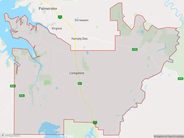
Fly CreekFly Creek Suburb Area Map (Polygon)
Fly Creek Introduction
Fly Creek is a small town in the Northern Territory of Australia, located about 150 km south of Darwin. It is known for its scenic beauty, including the nearby Fly Creek National Park and the MacDonnell Ranges. The town has a population of around 1,000 people and is a popular destination for tourists and outdoor enthusiasts.State Name
City or Big Region
District or Regional Area
Suburb Name
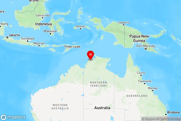
Fly Creek Region Map
Country
Main Region in AU
R1Coordinates
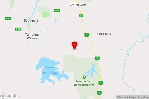
-12.8012,131.069 (latitude/longitude)Fly Creek Area Map (Street)
Longitude
130.6254299Latitude
-11.75841975Fly Creek Elevation
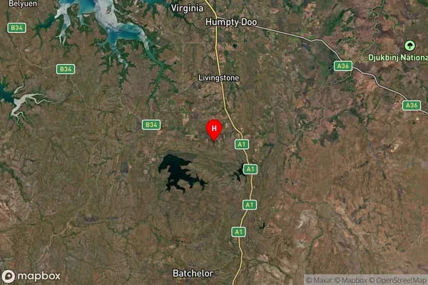
about 15.86 meters height above sea level (Altitude)Fly Creek Suburb Map (Satellite)
Distances
The distance from Fly Creek, Darwin, NT to AU Greater Capital CitiesSA1 Code 2011
70103103505SA1 Code 2016
70103103514SA2 Code
701031035SA3 Code
70103SA4 Code
701RA 2011
3RA 2016
3MMM 2015
5MMM 2019
5Charge Zone
NT1LGA Region
Tiwi IslandsLGA Code
74050Electorate
Solomon