Humpty Doo Area, Humpty Doo Postcode(0836) & Map in Humpty Doo, Darwin, NT
Humpty Doo Area, Humpty Doo Postcode(0836) & Map in Humpty Doo, Darwin, NT, AU, Postcode: 0836
Humpty Doo, Humpty Doo, Litchfield, Darwin, Northern Territory, Australia, 0836
Humpty Doo Postcode
Area Name
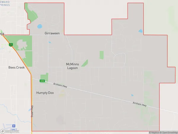
Humpty DooHumpty Doo Suburb Area Map (Polygon)
Humpty Doo Introduction
Humpty Doo is a town in the Northern Territory of Australia, located on the Adelaide River. It is known for its historic buildings, including the Humpty Doo Hotel and the Old Telegraph Station. The town is also a popular destination for fishing, boating, and wildlife watching.State Name
City or Big Region
District or Regional Area
Suburb Name
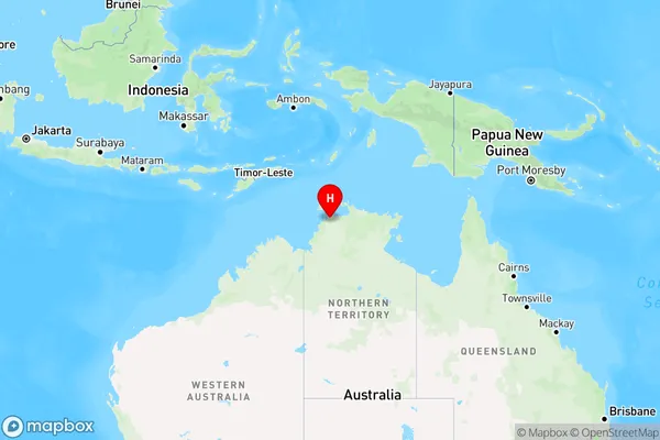
Humpty Doo Region Map
Country
Main Region in AU
R1Coordinates
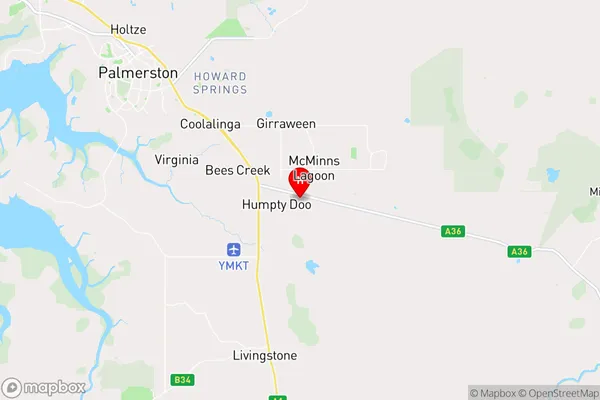
-12.5753,131.102 (latitude/longitude)Humpty Doo Area Map (Street)
Longitude
131.1272564Latitude
-12.58487247Humpty Doo Elevation
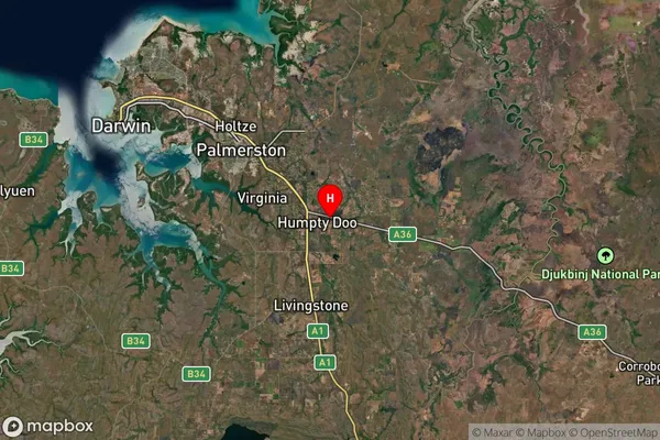
about 46.90 meters height above sea level (Altitude)Humpty Doo Suburb Map (Satellite)
Distances
The distance from Humpty Doo, Darwin, NT to AU Greater Capital CitiesSA1 Code 2011
70103103206SA1 Code 2016
70103103206SA2 Code
701031032SA3 Code
70103SA4 Code
701RA 2011
3RA 2016
3MMM 2015
2MMM 2019
2Charge Zone
NT1LGA Region
LitchfieldLGA Code
72300Electorate
Lingiari