Coolalinga Area, Coolalinga Postcode(0839) & Map in Coolalinga, Darwin, NT
Coolalinga Area, Coolalinga Postcode(0839) & Map in Coolalinga, Darwin, NT, AU, Postcode: 0839
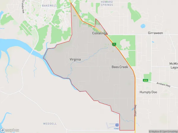
Coolalinga, Virginia, Litchfield, Darwin, Northern Territory, Australia, 0839
Coolalinga Postcode
Area Name
CoolalingaCoolalinga Suburb Area Map (Polygon)
Coolalinga Introduction
Coolalinga is a suburb of Darwin, Northern Territory, Australia, located approximately 30 km southeast of the city center. It is known for its natural beauty, including the Coolalinga Nature Reserve and the Casuarina Coastal Reserve. The suburb has a population of approximately 10,000 people and is home to a variety of businesses, including a shopping center, schools, and healthcare facilities.State Name
City or Big Region
District or Regional Area
Suburb Name
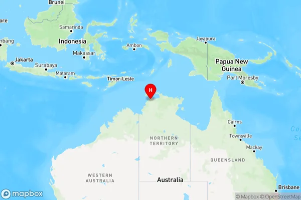
Coolalinga Region Map
Country
Main Region in AU
R1Coordinates
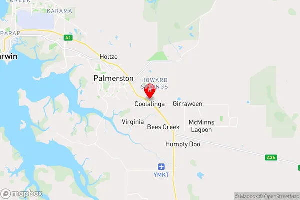
-12.5188645,131.0406631 (latitude/longitude)Coolalinga Area Map (Street)
Longitude
131.0402017Latitude
-12.52001124Coolalinga Elevation
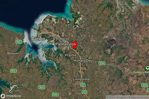
about 43.10 meters height above sea level (Altitude)Coolalinga Suburb Map (Satellite)
Distances
The distance from Coolalinga, Darwin, NT to AU Greater Capital CitiesSA1 Code 2011
70103103404SA1 Code 2016
70103103408SA2 Code
701031034SA3 Code
70103SA4 Code
701RA 2011
3RA 2016
3MMM 2015
2MMM 2019
2Charge Zone
NT1LGA Region
PalmerstonLGA Code
72800Electorate
Lingiari