Waratah Suburbs & Region, Waratah Map & Postcodes
Waratah Suburbs & Region, Waratah Map & Postcodes in Waratah, West Coast, West and North West, TAS, AU
Waratah Region
Region Name
Waratah (TAS, AU)Waratah Area
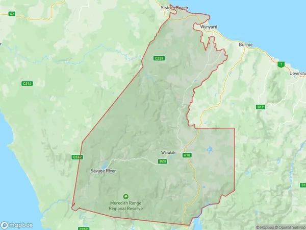
3489 square kilometers (3,489 ㎢)Postal Codes
7321, and 7325 (In total, there are 2 postcodes in Waratah.)Waratah Introduction
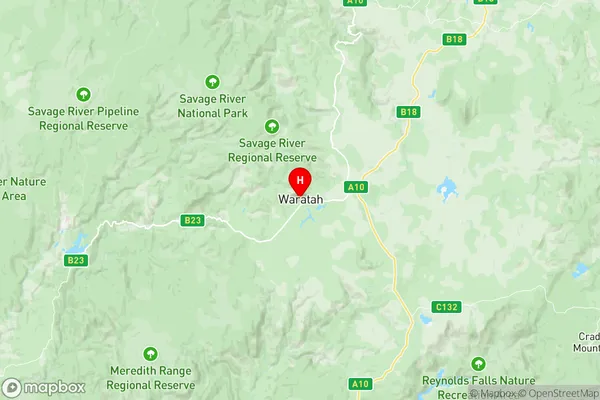
Waratah, West and North West is a locality in the West Coast District of Tasmania, Australia. It is located approximately 16 km south of the town of Queenstown. The locality was named after the Waratah flower, which is native to the area. The Waratah, West and North West Post Office opened on 1 October 1892 and was closed on 1 March 1974. The area is primarily agricultural, with some forestry and mining operations. The Waratah River flows through the locality, and there are several scenic walks and picnic spots in the area. The nearest major town is Burnie, which is approximately 40 km away.Australia State
City or Big Region
Greater Capital City
Rest of Tas. (6RTAS)District or Regional Area
Suburb Name
Waratah Region Map

Waratah Postcodes / Zip Codes
Waratah Suburbs
Waratah full address
Waratah, West Coast, West and North West, Tasmania, TAS, Australia, SaCode: 604031096Country
Waratah, West Coast, West and North West, Tasmania, TAS, Australia, SaCode: 604031096
Waratah Suburbs & Region, Waratah Map & Postcodes has 0 areas or regions above, and there are 27 Waratah suburbs below. The sa2code for the Waratah region is 604031096. Its latitude and longitude coordinates are -41.4455,145.531. Waratah area belongs to Australia's greater capital city Rest of Tas..
Waratah Suburbs & Localities
1. Boat Harbour
2. Boat Harbour Beach
3. Corinna
4. Guildford
5. Luina
6. Parrawe
7. Savage River
8. Sisters Beach
9. Waratah
10. Calder
11. Elliott
12. Flowerdale
13. Henrietta
14. Lapoinya
15. Meunna
16. Milabena
17. Moorleah
18. Mount Hicks
19. Myalla
20. Oldina
21. Oonah
22. Preolenna
23. Sisters Creek
24. Table Cape
25. Takone
26. West Takone
27. Yolla
