Preolenna Area, Preolenna Postcode(7325) & Map in Preolenna, West and North West, TAS
Preolenna Area, Preolenna Postcode(7325) & Map in Preolenna, West and North West, TAS, AU, Postcode: 7325
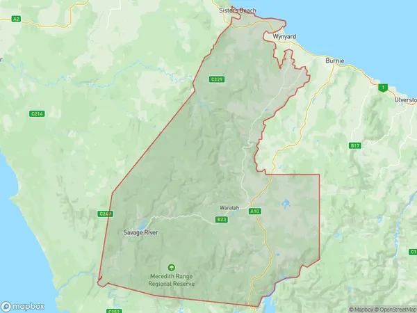
Preolenna, Waratah, West Coast, West and North West, Tasmania, Australia, 7325
Preolenna Postcode
Area Name
PreolennaPreolenna Suburb Area Map (Polygon)
Preolenna Introduction
Preolenna, West and North West, TAS, AU is a region in Tasmania, Australia, with a rich history and diverse landscape. It includes the towns of Preolenna, West Coast, and North West Coast, as well as the surrounding areas. The region is known for its natural beauty, including the Franklin-Gordon Wild Rivers National Park, the Tarkine Forest, and the West Coast Range. It is also home to a variety of wildlife, including kangaroos, wallabies, and emus.State Name
City or Big Region
District or Regional Area
Suburb Name
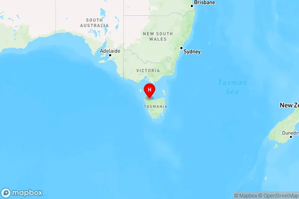
Preolenna Region Map
Country
Main Region in AU
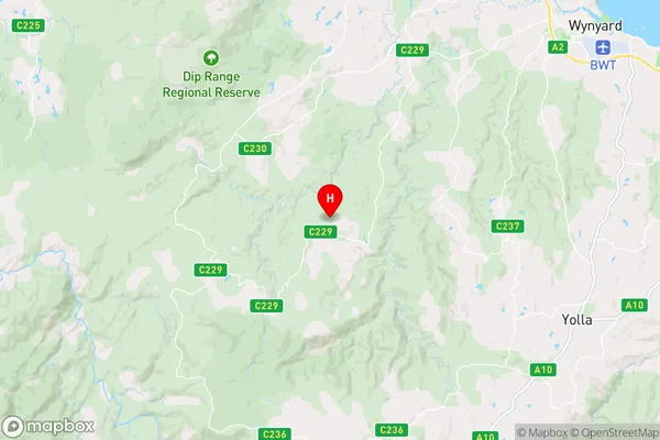
R3Coordinates
-41.0791067,145.5624469 (latitude/longitude)Preolenna Area Map (Street)
Longitude
145.607556Latitude
-41.100305Preolenna Elevation
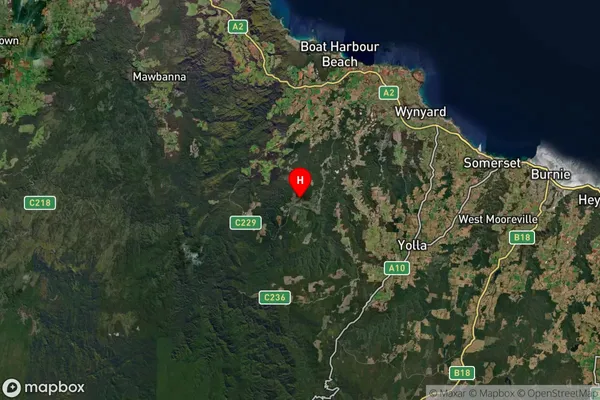
about 149.13 meters height above sea level (Altitude)Preolenna Suburb Map (Satellite)
Distances
The distance from Preolenna, West and North West, TAS to AU Greater Capital CitiesSA1 Code 2011
60403109610SA1 Code 2016
60403109610SA2 Code
604031096SA3 Code
60403SA4 Code
604RA 2011
3RA 2016
3MMM 2015
5MMM 2019
5Charge Zone
T1LGA Region
BurnieLGA Code
60610Electorate
Braddon