Guildford Area, Guildford Postcode(7321) & Map in Guildford, West and North West, TAS
Guildford Area, Guildford Postcode(7321) & Map in Guildford, West and North West, TAS, AU, Postcode: 7321
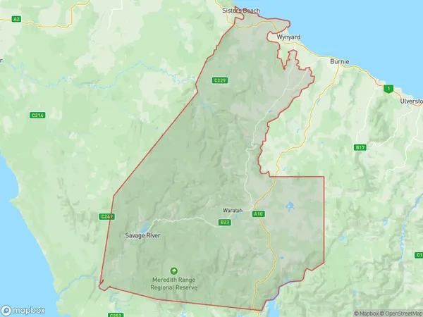
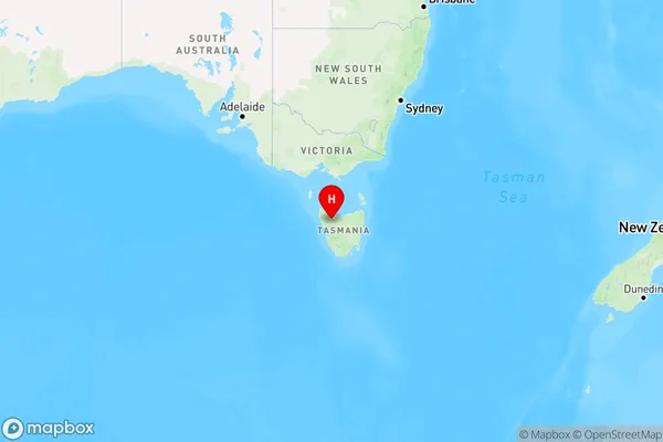
Guildford, Waratah, West Coast, West and North West, Tasmania, Australia, 7321
Guildford Postcode
Area Name
GuildfordGuildford Suburb Area Map (Polygon)
Guildford Introduction
Guildford, West and North West, TAS, AU is a suburb of Hobart, Tasmania, Australia. It is located 10 km north-west of the city center and is known for its scenic views, including Mount Wellington and the Derwent River. The suburb has a population of approximately 10,000 people and is home to a variety of businesses, including retail stores, restaurants, and healthcare facilities.State Name
City or Big Region
District or Regional Area
Suburb Name
Guildford Region Map
Country
Main Region in AU
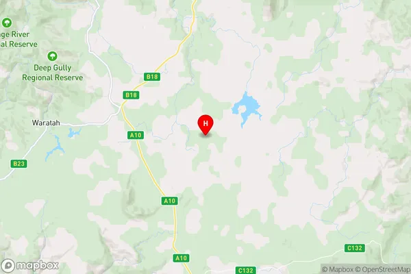
R3Coordinates
-41.4554805,145.6920417 (latitude/longitude)Guildford Area Map (Street)
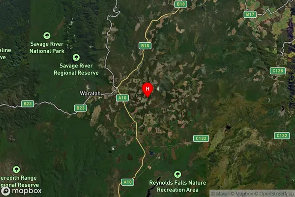
Longitude
145.503726Latitude
-41.456389Guildford Suburb Map (Satellite)
Distances
The distance from Guildford, West and North West, TAS to AU Greater Capital CitiesSA1 Code 2011
60403109612SA1 Code 2016
60403109612SA2 Code
604031096SA3 Code
60403SA4 Code
604RA 2011
3RA 2016
3MMM 2015
5MMM 2019
5Charge Zone
T1LGA Region
Waratah-WynyardLGA Code
65410Electorate
Braddon