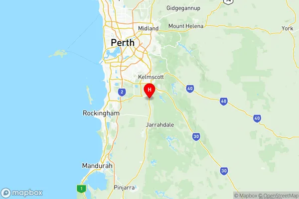
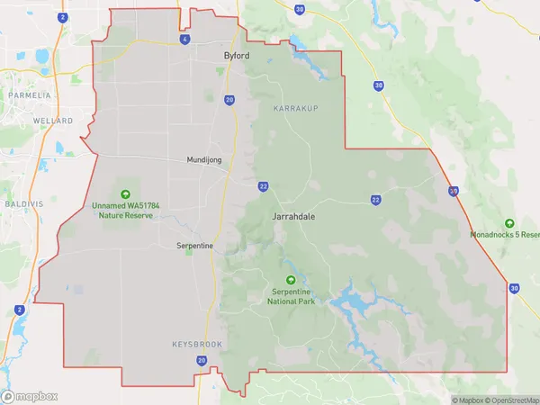
Serpentine Jarrahdale Suburbs & Region, Serpentine Jarrahdale Map & Postcodes
Serpentine Jarrahdale Suburbs & Region, Serpentine Jarrahdale Map & Postcodes in Serpentine Jarrahdale, Perth South East, WA, AU
Serpentine Jarrahdale Region
Region Name
Serpentine Jarrahdale (WA, AU)Serpentine Jarrahdale Area
904.76 square kilometers (904.76 ㎢)Postal Codes
from 6121 to 6126 (In total, there are 6 postcodes in Serpentine Jarrahdale.)Serpentine Jarrahdale Introduction
The Serpentine Jarrahdale is a suburb of Perth, located in the South East region of Western Australia. It is situated approximately 20 kilometers southeast of Perth's central business district and is part of the City of Stirling. The suburb is named after the Jarrahdale tree, which is native to the area and is known for its distinctive red and black bark. The Serpentine Jarrahdale suburb is a relatively new development, with most of the housing being built in the 1990s and early 2000s. The suburb has a mix of residential and commercial properties, with several shopping centers, parks, and recreational facilities. The suburb is also home to several schools, including a primary school, a secondary college, and a tertiary institution. The Serpentine Jarrahdale suburb is a popular location for families and young professionals, with its peaceful atmosphere, good schools, and convenient location. The suburb is also well-connected to other parts of Perth, with easy access to the Perth freeway and public transportation.Australia State
City or Big Region
District or Regional Area
Serpentine Jarrahdale Region Map

Serpentine Jarrahdale Postcodes / Zip Codes
Serpentine Jarrahdale Suburbs
Serpentine Jarrahdale
Serpentine Jarrahdale full address
Serpentine Jarrahdale, Perth South East, Western Australia, WA, Australia, SaCode: 50606Country
Serpentine Jarrahdale, Perth South East, Western Australia, WA, Australia, SaCode: 50606
Serpentine Jarrahdale Suburbs & Region, Serpentine Jarrahdale Map & Postcodes has 3 areas or regions above, and there are 13 Serpentine Jarrahdale suburbs below. The sa3code for the Serpentine Jarrahdale region is 50606. Its latitude and longitude coordinates are -32.2217,116.009.
Serpentine Jarrahdale Suburbs & Localities
1. Oakford
2. Oldbury
3. Byford
4. Darling Downs
5. Karrakup
6. Cardup
7. Whitby
8. Mardella
9. Serpentine
10. Keysbrook
11. Mundijong
12. Jarrahdale
13. Hopeland
