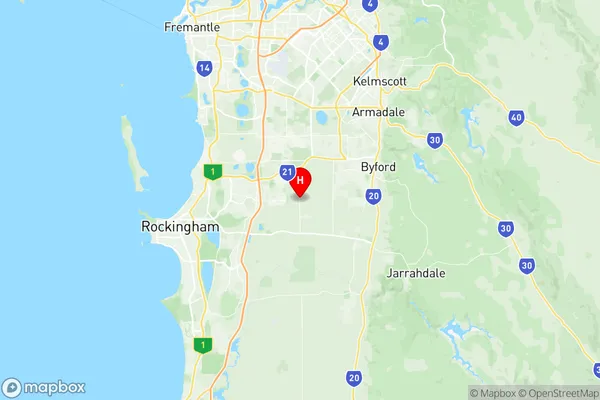
Mundijong Suburbs & Region, Mundijong Map & Postcodes
Mundijong Suburbs & Region, Mundijong Map & Postcodes in Mundijong, Serpentine Jarrahdale, Perth South East, WA, AU
Mundijong Region
Region Name
Mundijong (WA, AU)Mundijong Area
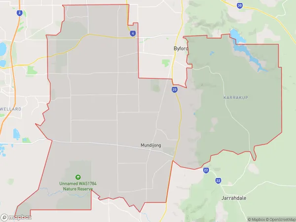
286.75 square kilometers (286.75 ㎢)Mundijong Introduction
Mundijong is a suburb of Perth, the capital city of Western Australia, located 21 kilometers southeast of Perth's central business district (CBD). It is part of the City of Stirling and is named after the Mundijong native plant, which is found in the area. The suburb has a population of around 2,500 people and is known for its peaceful and quiet atmosphere. It is surrounded by natural beauty, including the Darling Range and the Serpentine River, and offers a range of amenities, including a shopping center, a community center, and a medical center.Australia State
City or Big Region
Greater Capital City
Greater Perth (5GPER)District or Regional Area
Suburb Name
Mundijong Region Map

Mundijong Suburbs
Mundijong full address
Mundijong, Serpentine Jarrahdale, Perth South East, Western Australia, WA, Australia, SaCode: 506061143Country
Mundijong, Serpentine Jarrahdale, Perth South East, Western Australia, WA, Australia, SaCode: 506061143
Mundijong Suburbs & Region, Mundijong Map & Postcodes has 0 areas or regions above, and there are 0 Mundijong suburbs below. The sa2code for the Mundijong region is 506061143. Its latitude and longitude coordinates are -32.2545,115.907. Mundijong area belongs to Australia's greater capital city Greater Perth.
