Keysbrook Area, Keysbrook Postcode(6126) & Map in Keysbrook, Perth - South East, WA
Keysbrook Area, Keysbrook Postcode(6126) & Map in Keysbrook, Perth - South East, WA, AU, Postcode: 6126
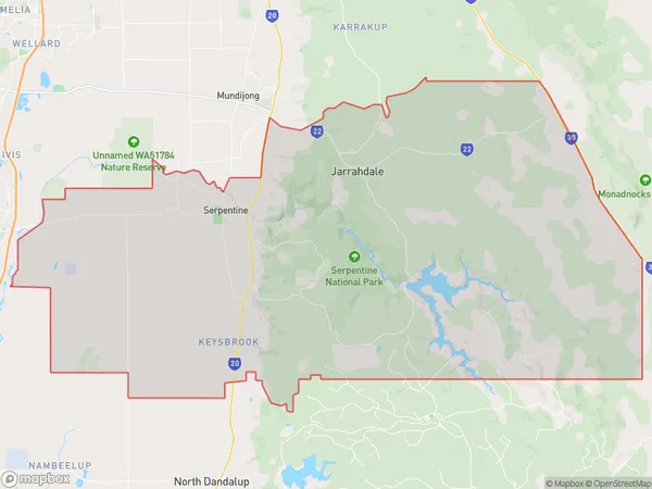
Keysbrook, Serpentine - Jarrahdale, Serpentine - Jarrahdale, Perth - South East, Western Australia, Australia, 6126
Keysbrook Postcode
Area Name
KeysbrookKeysbrook Suburb Area Map (Polygon)
Keysbrook Introduction
Keysbrook is a suburb of Perth, Western Australia, located 24 kilometers southeast of the central business district. It is part of the City of Kalamunda and has a population of approximately 10,000 people. Keysbrook is known for its natural beauty, including the Darling Range and the Helena River. It is also home to several parks and reserves, including the Keysbrook National Park.State Name
City or Big Region
District or Regional Area
Suburb Name
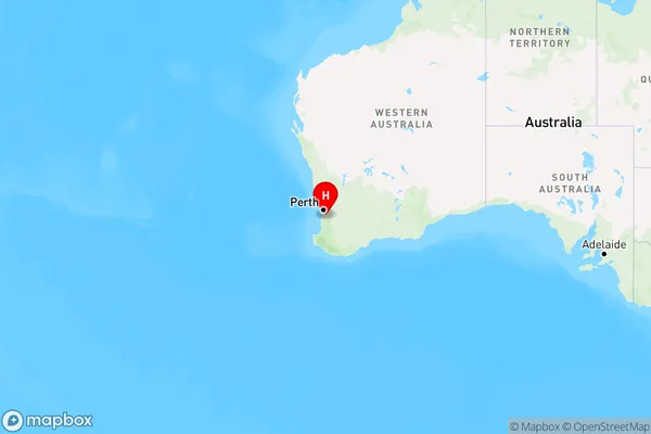
Keysbrook Region Map
Country
Main Region in AU
R2Coordinates
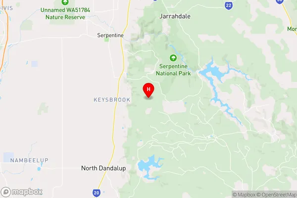
-32.4363721,116.0295671 (latitude/longitude)Keysbrook Area Map (Street)
Longitude
115.977043Latitude
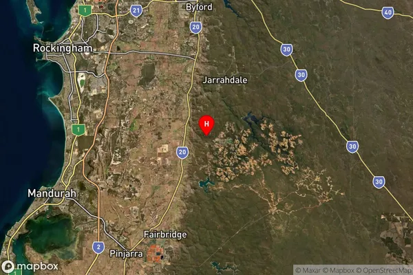
-32.440033Keysbrook Suburb Map (Satellite)
Distances
The distance from Keysbrook, Perth - South East, WA to AU Greater Capital CitiesSA1 Code 2011
50606114408SA1 Code 2016
50606114408SA2 Code
506061144SA3 Code
50606SA4 Code
506RA 2011
2RA 2016
2MMM 2015
5MMM 2019
5Charge Zone
W1LGA Region
Serpentine-JarrahdaleLGA Code
57700Electorate
Canning