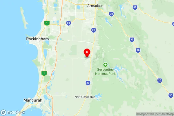
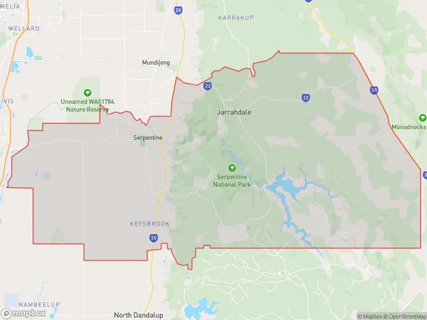
Serpentine Jarrahdale Suburbs & Region, Serpentine Jarrahdale Map & Postcodes
Serpentine Jarrahdale Suburbs & Region, Serpentine Jarrahdale Map & Postcodes in Serpentine Jarrahdale, Perth South East, WA, AU
Serpentine Jarrahdale Region
Region Name
Serpentine Jarrahdale (WA, AU)Serpentine Jarrahdale Area
588.62 square kilometers (588.62 ㎢)Postal Codes
from 6124 to 6126 (In total, there are 3 postcodes in Serpentine Jarrahdale.)Serpentine Jarrahdale Introduction
Serpentine Jarrahdale is a suburb in the City of Stirling, located 16 kilometers southeast of Perth's central business district (CBD) in Western Australia. It is part of the City of Stirling's southern corridor and is named after the Jarrahdale railway station, which was located on the Eastern Railway line from Perth to Bunbury. The suburb is characterized by a mix of residential and commercial properties, with several parks and recreational facilities including the Jarrahdale Regional Park and the Serpentine Jarrahdale Sports Complex. The area is known for its natural beauty, with lush gardens and trees lining the streets. It is also home to a variety of wildlife, including kangaroos, wallabies, and birds. Serpentine Jarrahdale is well-connected to the rest of Perth via the Mitchell Freeway and other major roads, and it is within walking distance of several shopping centers and schools.Australia State
City or Big Region
Greater Capital City
Greater Perth (5GPER)District or Regional Area
Suburb Name
Serpentine Jarrahdale Region Map

Serpentine Jarrahdale Postcodes / Zip Codes
Serpentine Jarrahdale Suburbs
Serpentine Jarrahdale full address
Serpentine Jarrahdale, Perth South East, Western Australia, WA, Australia, SaCode: 506061144Country
Serpentine Jarrahdale, Perth South East, Western Australia, WA, Australia, SaCode: 506061144
Serpentine Jarrahdale Suburbs & Region, Serpentine Jarrahdale Map & Postcodes has 0 areas or regions above, and there are 4 Serpentine Jarrahdale suburbs below. The sa2code for the Serpentine Jarrahdale region is 506061144. Its latitude and longitude coordinates are -32.3617,115.977. Serpentine Jarrahdale area belongs to Australia's greater capital city Greater Perth.
Serpentine Jarrahdale Suburbs & Localities
1. Serpentine
2. Keysbrook
3. Jarrahdale
4. Hopeland
