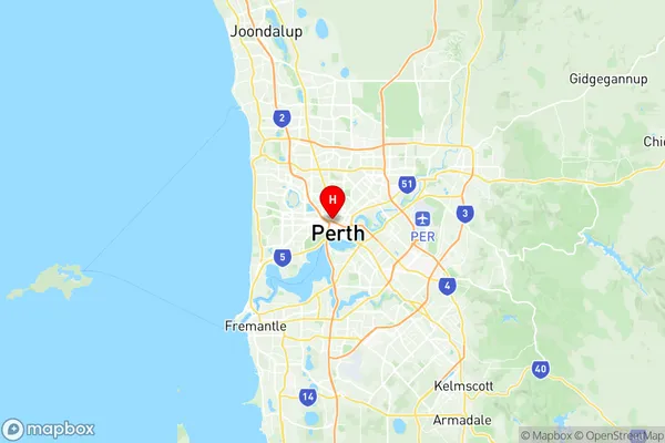
Perth City Suburbs & Region, Perth City Map & Postcodes
Perth City Suburbs & Region, Perth City Map & Postcodes in Perth City, Perth Inner, WA, AU
Perth City Region
Region Name
Perth City (WA, AU)Postal Codes
6000, 6001, from 6003 to 6005, 6800, 6803, 6809, 6817, 6820, 6827, from 6830 to 6832, from 6837 to 6850, 6865, 6872, and 6892 (In total, there are 31 postcodes in Perth City.)Perth City Introduction
Perth City is the administrative center of the Perth metropolitan area and the capital of Western Australia. It is located on the southern bank of the Swan River and is about 125 miles (200 km) east of Perth's coastal suburbs. The city has a population of over 2 million people and is home to many of Western Australia's major cultural and economic institutions, including the Art Gallery of Western Australia, the Western Australian Museum, and the Perth Concert Hall. Perth City is also known for its beautiful beaches, including Cottesloe Beach and Rottnest Island, and its vibrant arts and music scene.Australia State
City or Big Region
District or Regional Area
Suburb Name
Perth City Region Map

Perth City Postcodes / Zip Codes
Perth City Suburbs
Perth City full address
Perth City, Perth Inner, Western Australia, WA, Australia, SaCode: 503021041Country
Perth City, Perth Inner, Western Australia, WA, Australia, SaCode: 503021041
Perth City Suburbs & Region, Perth City Map & Postcodes has 0 areas or regions above, and there are 35 Perth City suburbs below. The sa2code for the Perth City region is 503021041. Its latitude and longitude coordinates are -31.9436,115.854.
Perth City Suburbs & Localities
1. City Delivery Centre
2. Perth
3. Perth Gpo
4. Perth
5. Highgate
6. Northbridge
7. East Perth
8. West Perth
9. Perth
10. Northbridge
11. Perth
12. Perth
13. Perth
14. Perth
15. Perth
16. Perth St Georges Tce
17. Perth East St Georges Tce
18. Perth
19. Perth
20. Perth
21. Perth
22. Perth
23. Perth
24. Perth
25. Perth
26. Perth
27. Perth
28. Perth
29. Perth
30. Perth Bc
31. Cloisters Square
32. Cloisters Square Po
33. Northbridge
34. West Perth
35. East Perth
