Highgate Area, Highgate Postcode(6003) & Map in Highgate, Perth - Inner, WA
Highgate Area, Highgate Postcode(6003) & Map in Highgate, Perth - Inner, WA, AU, Postcode: 6003
Highgate, Perth City, Perth City, Perth - Inner, Western Australia, Australia, 6003
Highgate Postcode
Area Name
HighgateHighgate Suburb Area Map (Polygon)

Highgate Introduction
Highgate is a suburb of Perth, Western Australia, located 4 kilometers east of the central business district. It is known for its parks, including Hyde Park and Langley Park, and its residential areas. Highgate is also home to several schools, including Highgate Primary School and Highgate Senior High School.State Name
City or Big Region
District or Regional Area
Suburb Name
Highgate Region Map
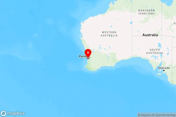
Country
Main Region in AU
R2Coordinates
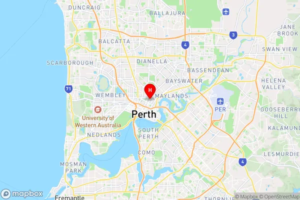
-31.9392191,115.8691573 (latitude/longitude)Highgate Area Map (Street)
Longitude
115.869136Latitude
-31.939272Highgate Elevation
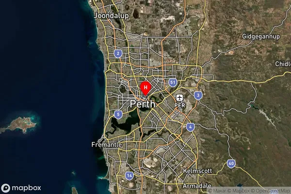
about 21.97 meters height above sea level (Altitude)Highgate Suburb Map (Satellite)
Distances
The distance from Highgate, Perth - Inner, WA to AU Greater Capital CitiesSA1 Code 2011
50302104131SA1 Code 2016
50302104182SA2 Code
503021041SA3 Code
50302SA4 Code
503RA 2011
1RA 2016
1MMM 2015
1MMM 2019
1Charge Zone
W1LGA Region
VincentLGA Code
58570Electorate
Perth