West Perth Area, West Perth Postcode(6872) & Map in West Perth, Perth - Inner, WA
West Perth Area, West Perth Postcode(6872) & Map in West Perth, Perth - Inner, WA, AU, Postcode: 6872
West Perth, Perth City, Perth City, Perth - Inner, Western Australia, Australia, 6872
West Perth Postcode
Area Name
West PerthWest Perth Suburb Area Map (Polygon)

West Perth Introduction
West Perth is a suburb of Perth, Western Australia, located 2.5 miles from the city center. It is known for its high-rise buildings, including the Central Park Tower and the West Perth Train Station. The area is home to many businesses and organizations, including the Perth Mint and the Royal Perth Hospital.State Name
City or Big Region
District or Regional Area
Suburb Name
West Perth Region Map

Country
Main Region in AU
R2Coordinates
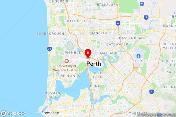
-31.9453285,115.8474335 (latitude/longitude)West Perth Area Map (Street)
Longitude
115.876395Latitude
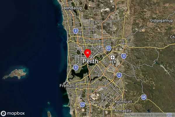
-31.94319West Perth Suburb Map (Satellite)
Distances
The distance from West Perth, Perth - Inner, WA to AU Greater Capital CitiesSA1 Code 2011
50302104126SA1 Code 2016
50302104165SA2 Code
503021041SA3 Code
50302SA4 Code
503RA 2011
1RA 2016
1MMM 2015
1MMM 2019
1Charge Zone
W1LGA Region
VincentLGA Code
58570Electorate
Stirling