Cloisters Square Po Area, Cloisters Square Po Postcode(6850) & Map in Cloisters Square Po, Perth - Inner, WA
Cloisters Square Po Area, Cloisters Square Po Postcode(6850) & Map in Cloisters Square Po, Perth - Inner, WA, AU, Postcode: 6850
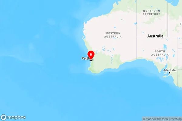
Cloisters Square Po, Perth City, Perth City, Perth - Inner, Western Australia, Australia, 6850
Cloisters Square Po Postcode
Area Name
Cloisters Square PoCloisters Square Po Suburb Area Map (Polygon)

Cloisters Square Po Introduction
Cloisters Square Po is a residential development in Perth, Australia, offering a range of apartments and townhouses. It is located in the inner city and is close to public transport, shopping centers, and schools. The development features a variety of amenities, including a swimming pool, gym, and landscaped gardens.State Name
City or Big Region
District or Regional Area
Suburb Name
Cloisters Square Po Region Map
Country
Main Region in AU
R2Coordinates
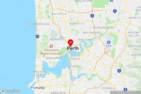
-31.9525,115.854 (latitude/longitude)Cloisters Square Po Area Map (Street)
Longitude
115.854Latitude
-31.9525Cloisters Square Po Elevation
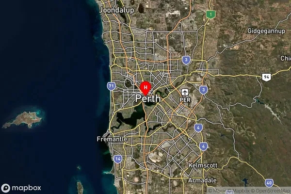
about -3492.00 meters height above sea level (Altitude)Cloisters Square Po Suburb Map (Satellite)
Distances
The distance from Cloisters Square Po, Perth - Inner, WA to AU Greater Capital CitiesSA1 Code 2011
50302104109SA1 Code 2016
50302104152SA2 Code
503021041SA3 Code
50302SA4 Code
503RA 2011
1RA 2016
1MMM 2015
1MMM 2019
1Charge Zone
W1LGA Region
PerthLGA Code
57080Electorate
Stirling