Cottesloe Claremont Suburbs & Region, Cottesloe Claremont Map & Postcodes
Cottesloe Claremont Suburbs & Region, Cottesloe Claremont Map & Postcodes in Cottesloe Claremont, Perth Inner, WA, AU
Cottesloe Claremont Region
Region Name
Cottesloe Claremont (WA, AU)Cottesloe Claremont Area
48.72 square kilometers (48.72 ㎢)Postal Codes
from 6009 to 6012, 6907, and from 6909 to 6912 (In total, there are 9 postcodes in Cottesloe Claremont.)Cottesloe Claremont Introduction
Cottesloe Claremont is a suburb in Perth, Western Australia, AU. It is located in the City of Claremont and is part of the Perth Metropolitan Region. The suburb is known for its beautiful beaches, parks, and vibrant community. It is home to several prestigious schools, including Cottesloe College and Claremont Primary School. Cottesloe Claremont also has a variety of shopping centers, restaurants, and cafes, making it a popular destination for locals and tourists alike.Australia State
City or Big Region
District or Regional Area
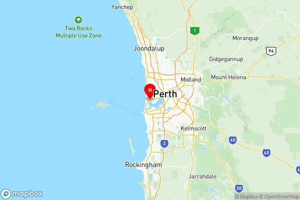
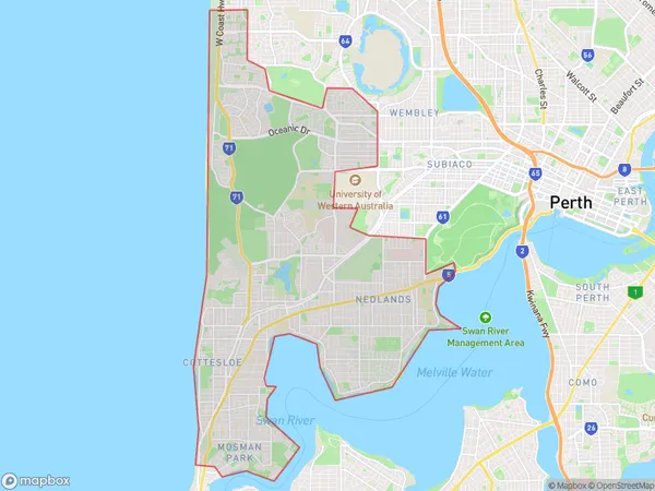
Cottesloe Claremont Region Map

Cottesloe Claremont Postcodes / Zip Codes
Cottesloe Claremont Suburbs
Mosman Park Peppermint Grove
Nedlands Dalkeith Crawley
Swanbourne Mount Claremont
Cottesloe Claremont full address
Cottesloe Claremont, Perth Inner, Western Australia, WA, Australia, SaCode: 50301Country
Cottesloe Claremont, Perth Inner, Western Australia, WA, Australia, SaCode: 50301
Cottesloe Claremont Suburbs & Region, Cottesloe Claremont Map & Postcodes has 5 areas or regions above, and there are 18 Cottesloe Claremont suburbs below. The sa3code for the Cottesloe Claremont region is 50301. Its latitude and longitude coordinates are -31.9842,115.778.
Cottesloe Claremont Suburbs & Localities
1. Crawley
2. Claremont North
3. Cottesloe
4. Nedlands
5. Claremont
6. Karrakatta
7. Mount Claremont
8. Peppermint Grove
9. Mosman Park
10. Broadway Nedlands
11. Dalkeith
12. Nedlands Dc
13. Swanbourne
14. Nedlands
15. Cottesloe
16. Mosman Park
17. Nedlands
18. Claremont
