Cottesloe Area, Cottesloe Postcode(6911) & Map in Cottesloe, Perth - Inner, WA
Cottesloe Area, Cottesloe Postcode(6911) & Map in Cottesloe, Perth - Inner, WA, AU, Postcode: 6911
Cottesloe, Cottesloe, Cottesloe - Claremont, Perth - Inner, Western Australia, Australia, 6911
Cottesloe Postcode
Area Name
CottesloeCottesloe Suburb Area Map (Polygon)

Cottesloe Introduction
Cottesloe is a beachside suburb of Perth, Western Australia, known for its picturesque beach, vibrant nightlife, and scenic coastal walks. It is home to several popular attractions, including the Cottesloe Beach Hotel, the Cottesloe Surf Life Saving Club, and the Cottesloe Beach Amphitheatre.State Name
City or Big Region
District or Regional Area
Suburb Name
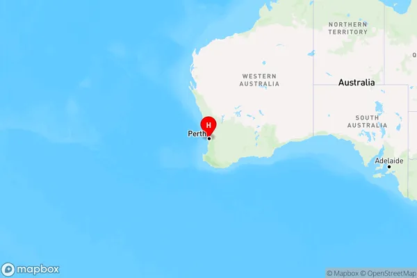
Cottesloe Region Map
Country
Main Region in AU
R2Coordinates
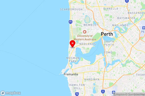
-31.9896506,115.7630503 (latitude/longitude)Cottesloe Area Map (Street)
Longitude
115.761982Latitude
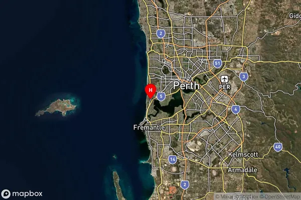
-32.403407Cottesloe Suburb Map (Satellite)
Distances
The distance from Cottesloe, Perth - Inner, WA to AU Greater Capital CitiesSA1 Code 2011
50301103214SA1 Code 2016
50301103214SA2 Code
503011032SA3 Code
50301SA4 Code
503RA 2011
1RA 2016
1MMM 2015
1MMM 2019
1Charge Zone
W1LGA Region
RockinghamLGA Code
57490Electorate
Curtin