Cottesloe Area, Cottesloe Postcode(6011) & Map in Cottesloe, Perth - Inner, WA
Cottesloe Area, Cottesloe Postcode(6011) & Map in Cottesloe, Perth - Inner, WA, AU, Postcode: 6011
Cottesloe, Cottesloe, Cottesloe - Claremont, Perth - Inner, Western Australia, Australia, 6011
Cottesloe Postcode
Area Name
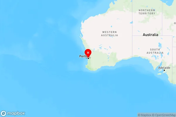
CottesloeCottesloe Suburb Area Map (Polygon)

Cottesloe Introduction
Cottesloe is a suburb in Perth, Western Australia, located 8 kilometers from Perth's central business district (CBD). It is known for its beautiful beaches, lush parks, and vibrant cultural scene. The suburb has a population of around 40,000 people and is home to several popular attractions, including Cottesloe Beach, the Cottesloe Ocean Baths, and the Cottesloe Arts Centre. Cottesloe is also a popular destination for tourists and locals alike, with many cafes, restaurants, and boutique shops lining the streets.State Name
City or Big Region
District or Regional Area
Suburb Name
Cottesloe Region Map

Country
Main Region in AU
R2Coordinates
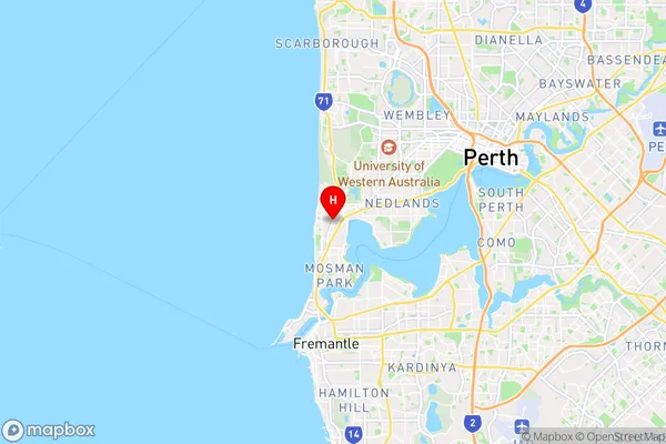
-31.9896506,115.7630503 (latitude/longitude)Cottesloe Area Map (Street)

Longitude
115.757646Latitude
-31.996371Cottesloe Elevation
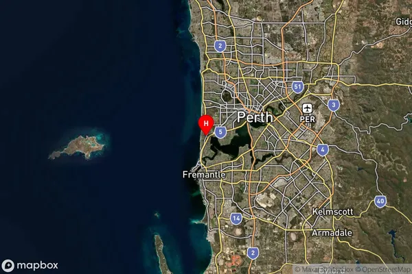
about 21.42 meters height above sea level (Altitude)Cottesloe Suburb Map (Satellite)

Distances
The distance from Cottesloe, Perth - Inner, WA to AU Greater Capital CitiesSA1 Code 2011
50301103214SA1 Code 2016
50301103214SA2 Code
503011032SA3 Code
50301SA4 Code
503RA 2011
1RA 2016
1MMM 2015
1MMM 2019
1Charge Zone
W1LGA Region
CottesloeLGA Code
52170Electorate
Curtin