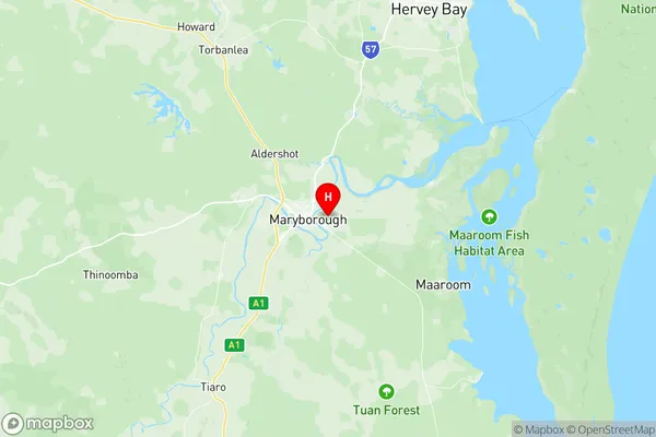
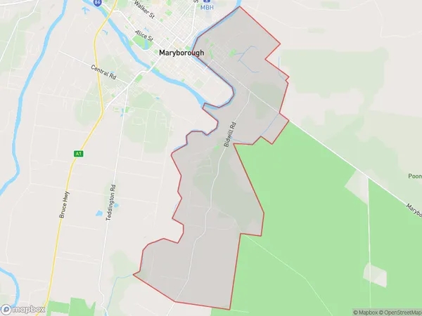
Granville Suburbs & Region, Granville Map & Postcodes
Granville Suburbs & Region, Granville Map & Postcodes in Granville, Maryborough, Wide Bay, QLD, AU
Granville Region
Region Name
Granville (QLD, AU)Granville Area
49.01 square kilometers (49.01 ㎢)Postal Codes
4650 (In total, there are 1 postcodes in Granville.)Granville Introduction
Granville is a locality in the Wide Bay Burnett Region, Queensland, Australia. It is one of the major gateways to the Burnett River and is located 136 km north of Bundaberg. The town was named after Sir William Granville, who was the Governor of New South Wales from 1801 to 1804. The Granville rail disaster occurred on 28 January 1917, when a passenger train collided with a goods train at Granville station, killing 113 people. The town has a population of around 4,000 people and is known for its agricultural industry, particularly sugarcane farming. The Granville rail disaster is remembered as a significant event in Australian rail history.Australia State
City or Big Region
Greater Capital City
Rest of Qld (3RQLD)District or Regional Area
Suburb Name
Granville Region Map

Granville Postcodes / Zip Codes
Granville Suburbs
Granville full address
Granville, Maryborough, Wide Bay, Queensland, QLD, Australia, SaCode: 319051523Country
Granville, Maryborough, Wide Bay, Queensland, QLD, Australia, SaCode: 319051523
Granville Suburbs & Region, Granville Map & Postcodes has 0 areas or regions above, and there are 4 Granville suburbs below. The sa2code for the Granville region is 319051523. Its latitude and longitude coordinates are -25.5364,152.727. Granville area belongs to Australia's greater capital city Rest of Qld.
Granville Suburbs & Localities
1. Bidwill
2. Boonooroo Plains
3. Hillcrest Heights
4. Granville
