Hillcrest Heights Area, Hillcrest Heights Postcode(4650) & Map in Hillcrest Heights, Wide Bay, QLD
Hillcrest Heights Area, Hillcrest Heights Postcode(4650) & Map in Hillcrest Heights, Wide Bay, QLD, AU, Postcode: 4650
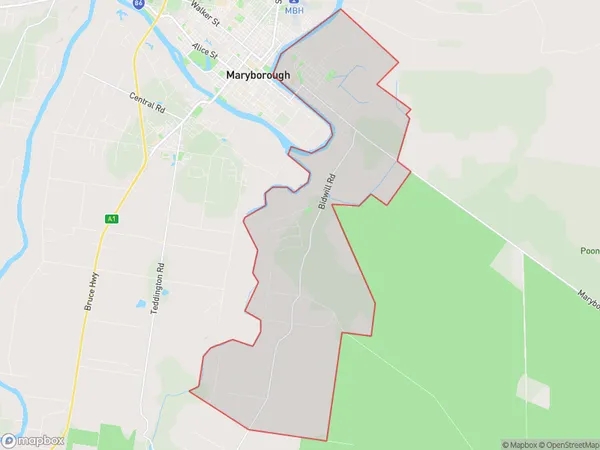
Hillcrest Heights, Granville, Maryborough, Wide Bay, Queensland, Australia, 4650
Hillcrest Heights Postcode
Area Name
Hillcrest HeightsHillcrest Heights Suburb Area Map (Polygon)
Hillcrest Heights Introduction
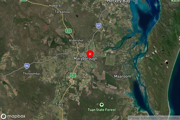
Hillcrest Heights is a suburb in Wide Bay, Queensland, Australia, located 25 km north of Maryborough. It is known for its rural lifestyle and scenic surroundings, with many residents enjoying the nearby beaches and national parks.State Name
City or Big Region
District or Regional Area
Suburb Name
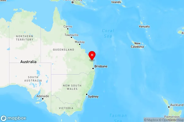
Hillcrest Heights Region Map
Country
Main Region in AU
R3Coordinates
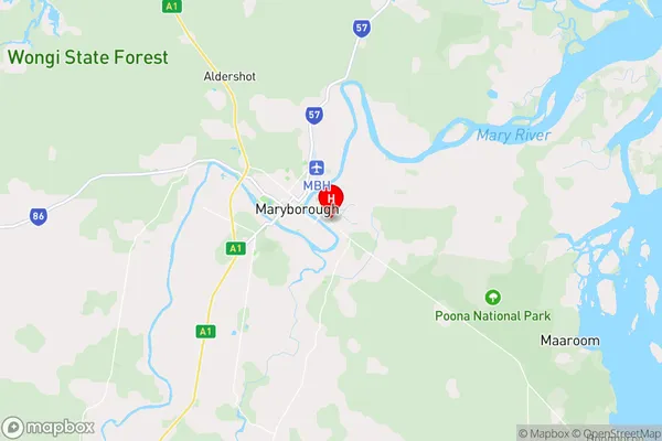
-25.544,152.723 (latitude/longitude)Hillcrest Heights Area Map (Street)
Longitude
152.791302Latitude
-25.640978Hillcrest Heights Suburb Map (Satellite)
Distances
The distance from Hillcrest Heights, Wide Bay, QLD to AU Greater Capital CitiesSA1 Code 2011
31905152303SA1 Code 2016
31905152303SA2 Code
319051523SA3 Code
31905SA4 Code
319RA 2011
2RA 2016
2MMM 2015
3MMM 2019
3Charge Zone
Q2LGA Region
Fraser CoastLGA Code
33220Electorate
Hinkler