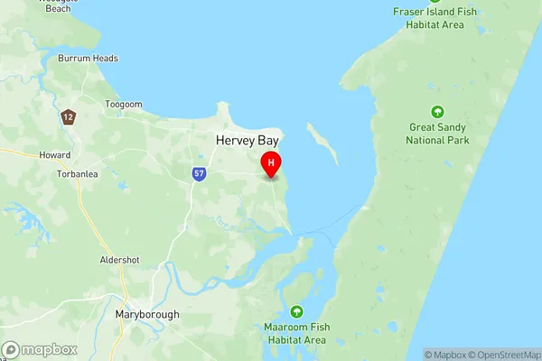
Booral River Heads Suburbs & Region, Booral River Heads Map & Postcodes
Booral River Heads Suburbs & Region, Booral River Heads Map & Postcodes in Booral River Heads, Maryborough, Wide Bay, QLD, AU
Booral River Heads Region
Region Name
Booral River Heads (QLD, AU)Booral River Heads Area
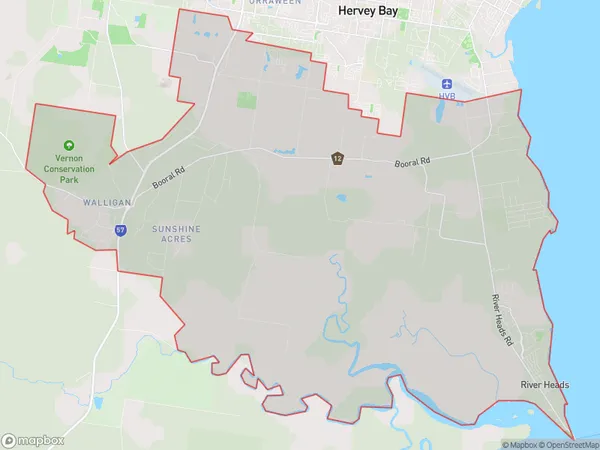
158.34 square kilometers (158.34 ㎢)Postal Codes
4655 (In total, there are 1 postcodes in Booral River Heads.)Booral River Heads Introduction
Booral River Heads is a locality in the Wide Bay Burnett Region, Queensland, Australia. It is one of the major gateways to the Queensland coast from the Darling Downs. The town is located on the southern bank of the Booral River, approximately 265 kilometers north of Brisbane and 125 kilometers south of Bundaberg. The population of the town at the 2011 census was 1,208. The town has a primary school, a post office, a general store, a hotel, and a caravan park. The surrounding area is known for its agriculture, with sugarcane, cotton, and tomatoes being the major crops grown. The town also has a number of tourist attractions, including the Booral National Park, which is home to a variety of wildlife, including kangaroos, wallabies, and emus. The park also has a number of walking trails and picnic areas. The town is also home to the Booral Show, which is held annually in September. The show is a major event in the region and attracts visitors from all over Queensland. The show features a variety of exhibits, including agriculture, livestock, and crafts. The town is surrounded by a number of scenic beaches, including Surfers Paradise, which is one of the most popular tourist destinations in Queensland. The town is also located close to a number of other attractions, including the Great Barrier Reef, the Sunshine CoastAustralia State
City or Big Region
Greater Capital City
Rest of Qld (3RQLD)District or Regional Area
Suburb Name
Booral River Heads Region Map

Booral River Heads Postcodes / Zip Codes
Booral River Heads Suburbs
Booral River Heads full address
Booral River Heads, Maryborough, Wide Bay, Queensland, QLD, Australia, SaCode: 319041516Country
Booral River Heads, Maryborough, Wide Bay, Queensland, QLD, Australia, SaCode: 319041516
Booral River Heads Suburbs & Region, Booral River Heads Map & Postcodes has 0 areas or regions above, and there are 10 Booral River Heads suburbs below. The sa2code for the Booral River Heads region is 319041516. Its latitude and longitude coordinates are -25.3539,152.89. Booral River Heads area belongs to Australia's greater capital city Rest of Qld.
Booral River Heads Suburbs & Localities
1. Booral
2. Ghost Hill
3. Great Sandy Strait
4. Sunshine Acres
5. Walligan
6. River Heads
7. Torquay
8. Bunya Creek
9. Kingfisher Bay Resort
10. Nikenbah
