Ghost Hill Area, Ghost Hill Postcode(4655) & Map in Ghost Hill, Wide Bay, QLD
Ghost Hill Area, Ghost Hill Postcode(4655) & Map in Ghost Hill, Wide Bay, QLD, AU, Postcode: 4655
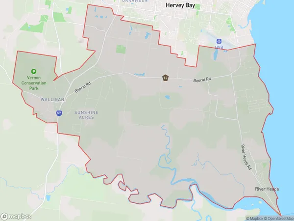
Ghost Hill, Booral - River Heads, Hervey Bay, Wide Bay, Queensland, Australia, 4655
Ghost Hill Postcode
Area Name
Ghost HillGhost Hill Suburb Area Map (Polygon)
Ghost Hill Introduction
Ghost Hill is a small town in Wide Bay, Queensland, Australia, known for its ghostly sightings and paranormal activity. It is believed to be haunted by the spirits of former residents and visitors who died in tragic accidents or mysterious circumstances.State Name
City or Big Region
District or Regional Area
Suburb Name
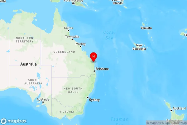
Ghost Hill Region Map
Country
Main Region in AU
R3Coordinates
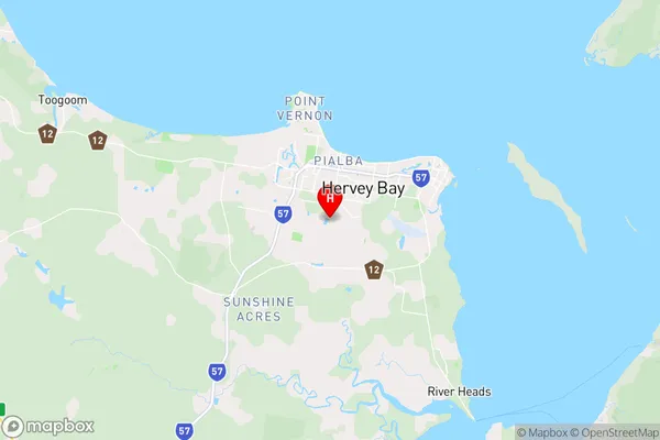
-25.3167,152.833 (latitude/longitude)Ghost Hill Area Map (Street)
Longitude
152.78368Latitude
-25.337998Ghost Hill Elevation
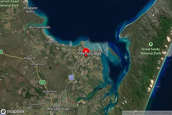
about 78.46 meters height above sea level (Altitude)Ghost Hill Suburb Map (Satellite)
Distances
The distance from Ghost Hill, Wide Bay, QLD to AU Greater Capital CitiesSA1 Code 2011
31904151603SA1 Code 2016
31904151603SA2 Code
319041516SA3 Code
31904SA4 Code
319RA 2011
2RA 2016
2MMM 2015
2MMM 2019
2Charge Zone
Q2LGA Region
Fraser CoastLGA Code
33220Electorate
Hinkler