Gin Gin Suburbs & Region, Gin Gin Map & Postcodes
Gin Gin Suburbs & Region, Gin Gin Map & Postcodes in Gin Gin, Burnett, Wide Bay, QLD, AU
Gin Gin Region
Region Name
Gin Gin (QLD, AU)Gin Gin Area
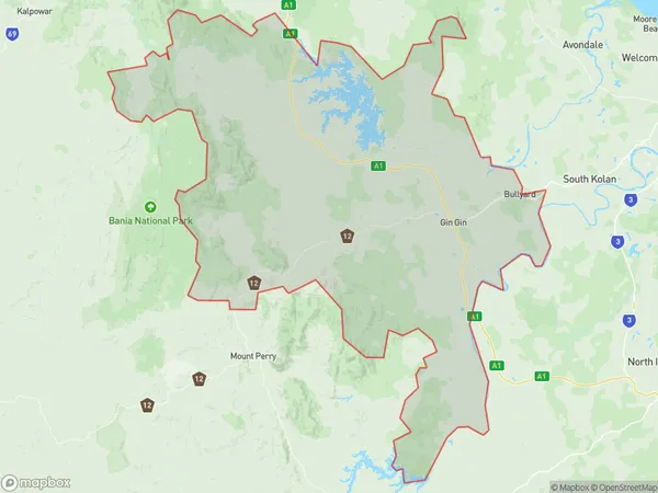
2355 square kilometers (2,355 ㎢)Gin Gin Suburb Area Map (Polygon)
Gin Gin Introduction
Gin Gin is a locality in the Bundaberg Region, Queensland, Australia. It is one of the major gateways to the Wide Bay Burnett region from the Queensland coast. The town is located 136 km north of Bundaberg and 225 km south of Brisbane. Gin Gin is a small rural town with a population of around 2,000 people. The town is known for its agricultural industry, particularly sugarcane farming. The Gin Gin Sugar Mill is one of the largest sugar mills in Australia and is a major employer in the region. The town also has a golf course, a swimming pool, and a caravan park. The Gin Gin National Park is located nearby and is a popular destination for bush walkers and campers.Australia State
City or Big Region
Greater Capital City
Rest of Qld (3RQLD)District or Regional Area
Suburb Name
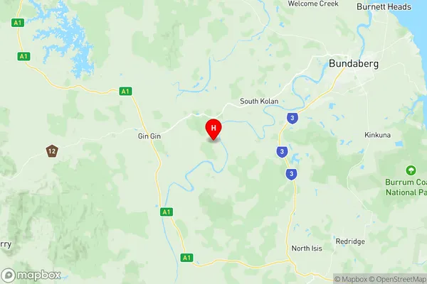
Gin Gin Region Map
Gin Gin Suburbs
Gin Gin full address
Gin Gin, Burnett, Wide Bay, Queensland, QLD, Australia, SaCode: 319021504Country
Gin Gin, Burnett, Wide Bay, Queensland, QLD, Australia, SaCode: 319021504
Gin Gin Suburbs & Region, Gin Gin Map & Postcodes has 0 areas or regions above, and there are 0 Gin Gin suburbs below. The sa2code for the Gin Gin region is 319021504. Its latitude and longitude coordinates are -25.0031,152.081. Gin Gin area belongs to Australia's greater capital city Rest of Qld.