Dalysford Area, Dalysford Postcode(4671) & Map in Dalysford, Wide Bay, QLD
Dalysford Area, Dalysford Postcode(4671) & Map in Dalysford, Wide Bay, QLD, AU, Postcode: 4671
Dalysford, Gin Gin, Burnett, Wide Bay, Queensland, Australia, 4671
Dalysford Postcode
Area Name
DalysfordDalysford Suburb Area Map (Polygon)
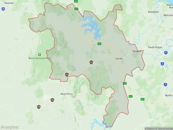
Dalysford Introduction
Dalysford is a small town in Wide Bay, Queensland, Australia, known for its scenic beauty and agricultural industry. It is located on the banks of the Burnett River and has a population of around 1,000 people. The town is home to several parks and reserves, including the Dalysford National Park, which offers hiking, camping, and wildlife viewing opportunities.State Name
City or Big Region
District or Regional Area
Suburb Name
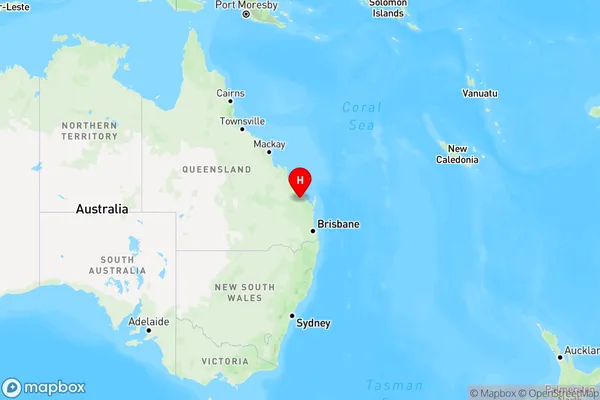
Dalysford Region Map
Country
Main Region in AU
R3Coordinates
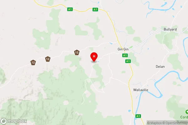
-25.0192454,151.8935844 (latitude/longitude)Dalysford Area Map (Street)
Longitude
151.78942Latitude
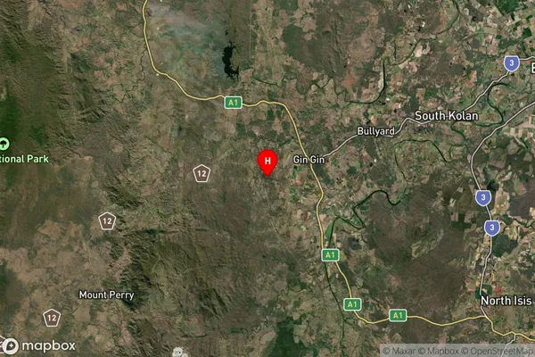
-25.07645Dalysford Suburb Map (Satellite)
Distances
The distance from Dalysford, Wide Bay, QLD to AU Greater Capital CitiesSA1 Code 2011
31902150411SA1 Code 2016
31902150411SA2 Code
319021504SA3 Code
31902SA4 Code
319RA 2011
3RA 2016
3MMM 2015
5MMM 2019
5Charge Zone
Q2LGA Region
BundabergLGA Code
31820Electorate
Hinkler