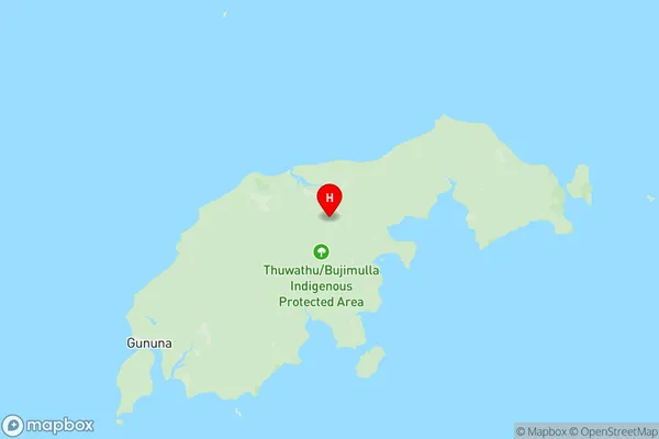
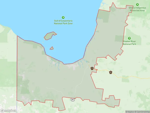
Carpentaria Suburbs & Region, Carpentaria Map & Postcodes
Carpentaria Suburbs & Region, Carpentaria Map & Postcodes in Carpentaria, Barkly, Northern Territory Outback, QLD, AU
Carpentaria Region
Region Name
Carpentaria (QLD, AU)Carpentaria Area
114444 square kilometers (114,444 ㎢)Postal Codes
4816, from 4823 to 4825, 4830, 4871, and from 4890 to 4892 (In total, there are 9 postcodes in Carpentaria.)Carpentaria Introduction
Carpentaria is a remote region of Australia's Northern Territory and Queensland. It is known for its red soil, rocky outcrops, and unique wildlife. The area is home to the Kukatha people, who have lived in the region for thousands of years. Carpentaria is also home to the world's largest monolith, Mount Augustus. The region is characterized by its arid climate and has been the site of numerous mining and pastoral operations. Despite its challenges, Carpentaria is a beautiful and fascinating place with a rich cultural heritage and natural beauty.Australia State
City or Big Region
Greater Capital City
Rest of Qld (3RQLD)District or Regional Area
Suburb Name
Carpentaria Region Map

Carpentaria Postcodes / Zip Codes
Carpentaria Suburbs
Carpentaria full address
Carpentaria, Barkly, Northern Territory Outback, Queensland, QLD, Australia, SaCode: 315021404Country
Carpentaria, Barkly, Northern Territory Outback, Queensland, QLD, Australia, SaCode: 315021404
Carpentaria Suburbs & Region, Carpentaria Map & Postcodes has 0 areas or regions above, and there are 24 Carpentaria suburbs below. The sa2code for the Carpentaria region is 315021404. Its latitude and longitude coordinates are -16.5175,139.406. Carpentaria area belongs to Australia's greater capital city Rest of Qld.
Carpentaria Suburbs & Localities
1. Savannah
2. Carpentaria
3. Stokes
4. Fielding
5. Lawn Hill
6. Augustus Downs
7. Gangalidda
8. Nicholson
9. Nelia
10. Gidya
11. Burketown
12. Doomadgee
13. South Wellesley Islands
14. West Wellesley Islands
15. Yagoonya
16. Gregory
17. Gregory Downs
18. Mornington Island
19. Howitt
20. Norman
21. Wellesley Islands
22. Normanton
23. Karumba
24. Maramie
