Fielding Area, Fielding Postcode(4825) & Map in Fielding, Queensland - Outback, QLD
Fielding Area, Fielding Postcode(4825) & Map in Fielding, Queensland - Outback, QLD, AU, Postcode: 4825
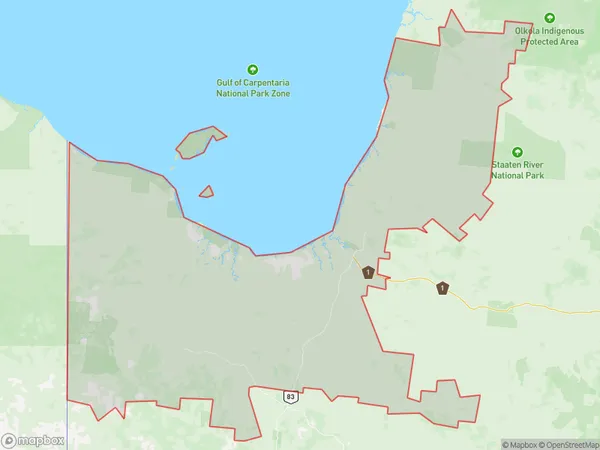
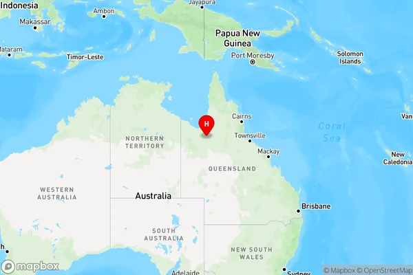
Fielding, Carpentaria, Outback - North, Queensland - Outback, Queensland, Australia, 4825
Fielding Postcode
Area Name
FieldingFielding Suburb Area Map (Polygon)
Fielding Introduction
Fielding is a small town in the Outback of Queensland, Australia, known for its cattle and sheep farming. It is located on the Diamantina River and has a population of around 1,000 people. The town has a general store, a hotel, and a school, and is a popular destination for tourists looking to experience the Australian Outback.State Name
City or Big Region
District or Regional Area
Suburb Name
Fielding Region Map
Country
Main Region in AU
R3Coordinates
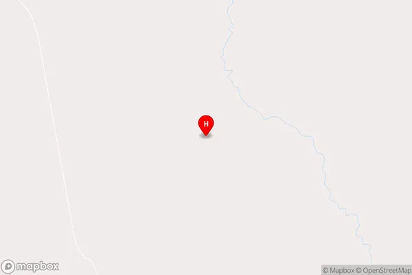
-18.8326478,141.2905198 (latitude/longitude)Fielding Area Map (Street)
Longitude
137.432341Latitude
-21.017327Fielding Elevation
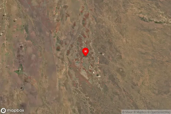
about 218.89 meters height above sea level (Altitude)Fielding Suburb Map (Satellite)
Distances
The distance from Fielding, Queensland - Outback, QLD to AU Greater Capital CitiesSA1 Code 2011
31502140408SA1 Code 2016
31502140408SA2 Code
315021404SA3 Code
31502SA4 Code
315RA 2011
5RA 2016
5MMM 2015
7MMM 2019
7Charge Zone
Q4LGA Region
Mount IsaLGA Code
35300Electorate
Kennedy