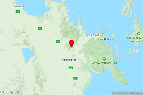
Proserpine Suburbs & Region, Proserpine Map & Postcodes
Proserpine Suburbs & Region, Proserpine Map & Postcodes in Proserpine, Whitsunday, Mackay, QLD, AU
Proserpine Region
Region Name
Proserpine (QLD, AU)Proserpine Area
2075 square kilometers (2,075 ㎢)Postal Codes
4800 (In total, there are 1 postcodes in Proserpine.)Proserpine Introduction
Proserpine is a locality in the Mackay Region, Queensland, Australia. It is one of the major sugarcane growing areas in the region and is located about 125 km north of Mackay. The town has a population of around 10,000 people and is known for its beautiful beaches, lush tropical rainforests, and vibrant cultural heritage. The Proserpine River, which flows through the town, is a major source of water for the region's agriculture and provides a habitat for a variety of wildlife. The town also has a number of tourist attractions, including the Proserpine Sugar Mill, the Whitsunday Islands, and the Great Barrier Reef.Australia State
City or Big Region
Greater Capital City
Rest of Qld (3RQLD)District or Regional Area
Suburb Name
Proserpine Region Map

Proserpine Postcodes / Zip Codes
Proserpine Suburbs
Proserpine full address
Proserpine, Whitsunday, Mackay, Queensland, QLD, Australia, SaCode: 312031361Country
Proserpine, Whitsunday, Mackay, Queensland, QLD, Australia, SaCode: 312031361
Proserpine Suburbs & Region, Proserpine Map & Postcodes has 0 areas or regions above, and there are 36 Proserpine suburbs below. The sa2code for the Proserpine region is 312031361. Its latitude and longitude coordinates are -20.3352,148.594. Proserpine area belongs to Australia's greater capital city Rest of Qld.
Proserpine Suburbs & Localities
1. Andromache
2. Glen Isla
3. Gregory River
4. Lethebrook
5. Mount Marlow
6. Pauls Pocket
7. Silver Creek
8. Brandy Creek
9. Crystal Brook
10. Dittmer
11. Erlando Beach
12. Goorganga Creek
13. Hamilton Plains
14. Kelsey Creek
15. Palm Grove
16. Preston
17. Riordanvale
18. Breadalbane
19. Cape Gloucester
20. Conway Beach
21. Foxdale
22. Goorganga Plains
23. Lake Proserpine
24. Mount Pluto
25. Myrtlevale
26. Thoopara
27. Conway
28. Dingo Beach
29. Gunyarra
30. Hideaway Bay
31. Hideaway Bay
32. Mount Julian
33. Proserpine
34. Strathdickie
35. Sugarloaf
36. Wilson Beach
