Sugarloaf Area, Sugarloaf Postcode(4800) & Map in Sugarloaf, Mackay - Isaac - Whitsunday, QLD
Sugarloaf Area, Sugarloaf Postcode(4800) & Map in Sugarloaf, Mackay - Isaac - Whitsunday, QLD, AU, Postcode: 4800
Sugarloaf, Proserpine, Whitsunday, Mackay - Isaac - Whitsunday, Queensland, Australia, 4800
Sugarloaf Postcode
Area Name
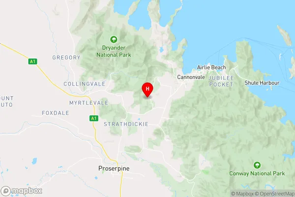
SugarloafSugarloaf Suburb Area Map (Polygon)

Sugarloaf Introduction
Sugarloaf, Mackay - Isaac - Whitsunday, QLD, AU is a mountain range in Queensland, Australia, with an elevation of 1,622 meters. It is known for its scenic beauty, including the Sugarloaf Peak, which is the highest point in the range. The area is popular for hiking, camping, and wildlife watching.State Name
City or Big Region
District or Regional Area
Suburb Name
Sugarloaf Region Map

Country
Main Region in AU
R3Coordinates
-20.3101798,148.6286836 (latitude/longitude)Sugarloaf Area Map (Street)
Longitude
148.516317Latitude
-20.465423Sugarloaf Elevation
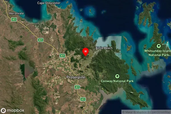
about 54.48 meters height above sea level (Altitude)Sugarloaf Suburb Map (Satellite)
Distances
The distance from Sugarloaf, Mackay - Isaac - Whitsunday, QLD to AU Greater Capital CitiesSA1 Code 2011
31203136102SA1 Code 2016
31203136102SA2 Code
312031361SA3 Code
31203SA4 Code
312RA 2011
3RA 2016
3MMM 2015
4MMM 2019
4Charge Zone
Q3LGA Region
MackayLGA Code
34770Electorate
Dawson