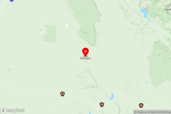
Broadsound Nebo Suburbs & Region, Broadsound Nebo Map & Postcodes
Broadsound Nebo Suburbs & Region, Broadsound Nebo Map & Postcodes in Broadsound Nebo, Whitsunday, Mackay, QLD, AU
Broadsound Nebo Region
Region Name
Broadsound Nebo (QLD, AU)Broadsound Nebo Area
27991 square kilometers (27,991 ㎢)Broadsound Nebo Introduction
Broadsound Nebo is a locality in the Mackay Region, Queensland, Australia. It is one of the major coal-exporting ports in the country, with coal from the nearby Mount Superbus mine being transported to ports in Asia. The town is located on the Coral Sea coast and has a population of around 2,000 people. The town has a primary school, a post office, a general store, and a community hall. The nearby Mount Superbus mine is a major employer in the area, and the town also supports a fishing industry. The town has a beautiful beach and is popular with tourists and locals alike.Australia State
City or Big Region
Greater Capital City
Rest of Qld (3RQLD)District or Regional Area
Suburb Name
Broadsound Nebo Region Map

Broadsound Nebo Suburbs
Broadsound Nebo full address
Broadsound Nebo, Whitsunday, Mackay, Queensland, QLD, Australia, SaCode: 312011338Country
Broadsound Nebo, Whitsunday, Mackay, Queensland, QLD, Australia, SaCode: 312011338
Broadsound Nebo Suburbs & Region, Broadsound Nebo Map & Postcodes has 0 areas or regions above, and there are 0 Broadsound Nebo suburbs below. The sa2code for the Broadsound Nebo region is 312011338. Its latitude and longitude coordinates are -21.3539,148.114. Broadsound Nebo area belongs to Australia's greater capital city Rest of Qld.
