Clairview Area, Clairview Postcode(4741) & Map in Clairview, Mackay - Isaac - Whitsunday, QLD
Clairview Area, Clairview Postcode(4741) & Map in Clairview, Mackay - Isaac - Whitsunday, QLD, AU, Postcode: 4741
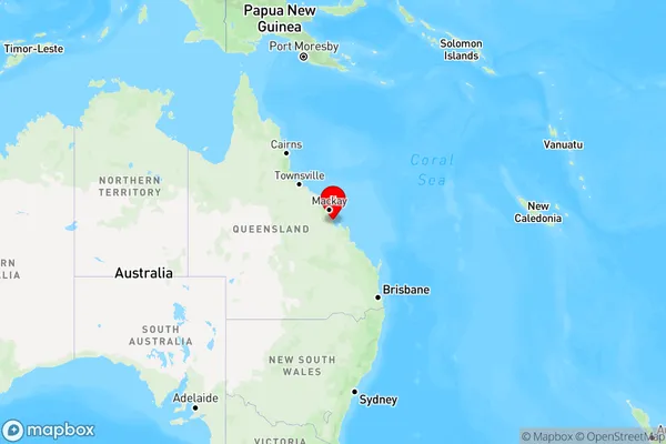
Clairview, Broadsound - Nebo, Bowen Basin - North, Mackay - Isaac - Whitsunday, Queensland, Australia, 4741
Clairview Postcode
Area Name
ClairviewClairview Suburb Area Map (Polygon)

State Name
City or Big Region
District or Regional Area
Suburb Name
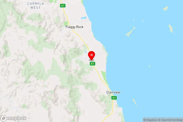
Clairview Region Map
Country
Main Region in AU
R3Coordinates
-22.0422664,149.4835735 (latitude/longitude)Clairview Area Map (Street)
Longitude
149.271699Latitude
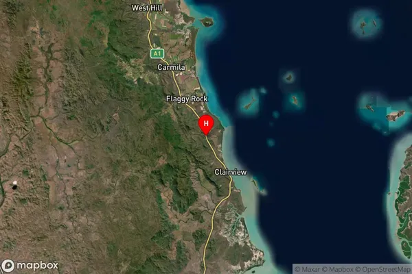
-20.808597Clairview Suburb Map (Satellite)
Distances
The distance from Clairview, Mackay - Isaac - Whitsunday, QLD to AU Greater Capital CitiesSA1 Code 2011
31201133821SA1 Code 2016
31201133821SA2 Code
312011338SA3 Code
31201SA4 Code
312RA 2011
4RA 2016
4MMM 2015
6MMM 2019
6Charge Zone
Q3LGA Region
MackayLGA Code
34770Electorate
Dawson