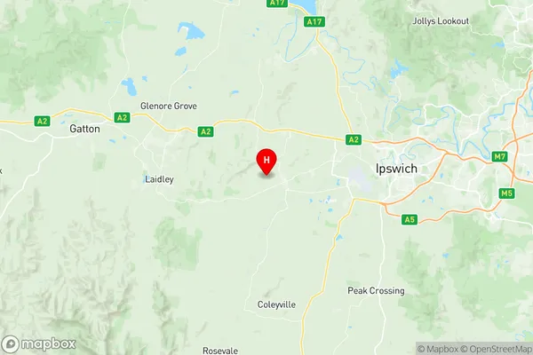
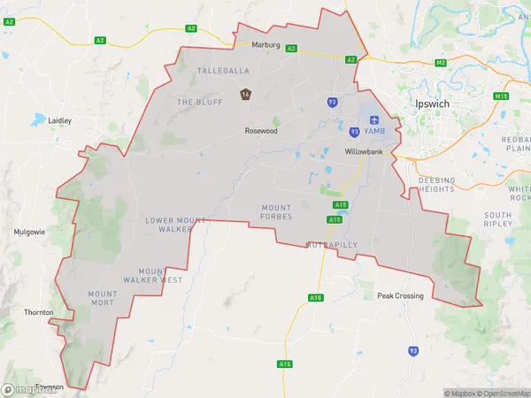
Rosewood Suburbs & Region, Rosewood Map & Postcodes
Rosewood Suburbs & Region, Rosewood Map & Postcodes in Rosewood, Ipswich Hinterland, Ipswich, QLD, AU
Rosewood Region
Region Name
Rosewood (QLD, AU)Rosewood Area
674.55 square kilometers (674.55 ㎢)Postal Codes
4306, 4307, 4340, and 4346 (In total, there are 4 postcodes in Rosewood.)Rosewood Introduction
Rosewood is a suburb in the City of Ipswich, Queensland, Australia. It is located 10 kilometers west of the Ipswich central business district. Rosewood is a planned community with a variety of housing styles, including single-family homes, duplexes, and apartments. The suburb has a number of parks and recreational facilities, including a cricket club, tennis courts, and a swimming pool. It is also home to the Rosewood State School and the Rosewood Shopping Centre.Australia State
City or Big Region
Greater Capital City
Greater Brisbane (3GBRI)District or Regional Area
Suburb Name
Rosewood Region Map

Rosewood Postcodes / Zip Codes
Rosewood Suburbs
Rosewood full address
Rosewood, Ipswich Hinterland, Ipswich, Queensland, QLD, Australia, SaCode: 310021282Country
Rosewood, Ipswich Hinterland, Ipswich, Queensland, QLD, Australia, SaCode: 310021282
Rosewood Suburbs & Region, Rosewood Map & Postcodes has 0 areas or regions above, and there are 24 Rosewood suburbs below. The sa2code for the Rosewood region is 310021282. Its latitude and longitude coordinates are -27.6285,152.56. Rosewood area belongs to Australia's greater capital city Greater Brisbane.
Rosewood Suburbs & Localities
1. Haigslea
2. Walloon
3. Amberley
4. Purga
5. West Amberley
6. Willowbank
7. Ashwell
8. Rosewood
9. Jeebropilly
10. Lanefield
11. Woolshed
12. Ironbark
13. Goolman
14. Mount Marrow
15. Thagoona
16. Mutdapilly
17. Ebenezer
18. Lower Mount Walker
19. Mount Mort
20. Calvert
21. Grandchester
22. Tallegalla
23. The Bluff
24. Marburg
