Rosewood Area, Rosewood Postcode(4340) & Map in Rosewood, Ipswich, QLD
Rosewood Area, Rosewood Postcode(4340) & Map in Rosewood, Ipswich, QLD, AU, Postcode: 4340
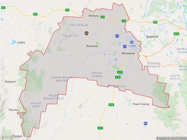
Rosewood, Rosewood, Ipswich Hinterland, Ipswich, Queensland, Australia, 4340
Rosewood Postcode
Area Name
RosewoodRosewood Suburb Area Map (Polygon)
Rosewood Introduction
Rosewood is a suburb in Ipswich, Queensland, Australia, known for its historical significance and cultural heritage. It was once a thriving timber town and has several heritage-listed sites, including the Rosewood Railway Station and the Rosewood Memorial Hall.State Name
City or Big Region
District or Regional Area
Suburb Name
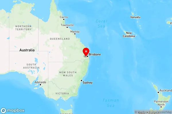
Rosewood Region Map
Country
Main Region in AU
R3Coordinates
-27.6387496,152.5928676 (latitude/longitude)Rosewood Area Map (Street)
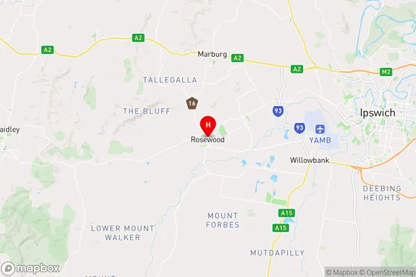
Longitude
152.472702Latitude
-27.803453Rosewood Suburb Map (Satellite)
Not available for nowDistances
The distance from Rosewood, Ipswich, QLD to AU Greater Capital CitiesSA1 Code 2011
31002128207SA1 Code 2016
31002128207SA2 Code
310021282SA3 Code
31002SA4 Code
310RA 2011
2RA 2016
2MMM 2015
2MMM 2019
2Charge Zone
Q2LGA Region
IpswichLGA Code
33960Electorate
Wright