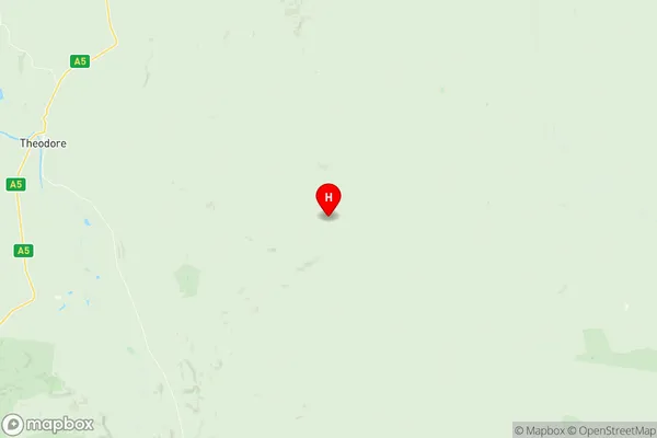
Banana Suburbs & Region, Banana Map & Postcodes
Banana Suburbs & Region, Banana Map & Postcodes in Banana, Rockhampton, Fitzroy, QLD, AU
Banana Region
Region Name
Banana (QLD, AU)Banana Area
28531 square kilometers (28,531 ㎢)Postal Codes
4419, 4420, 4702, 4715, 4716, 4718, and 4719 (In total, there are 7 postcodes in Banana.)Banana Introduction
Banana is a locality in the City of Brisbane, Queensland, Australia. It is located 5 kilometers northwest of the Brisbane CBD. The suburb has a population of around 10,000 people and is known for its historic banana plantations and its close proximity to the Brisbane River. The area was first settled in the 1860s and was named after the banana plantations that were established in the area. The suburb has a number of heritage-listed buildings, including the Banana Shire Hall and the Old Government House. Banana is also home to a number of parks and recreational facilities, including the Banana Shire Park and the Fitzroy Riverwalk.Australia State
City or Big Region
Greater Capital City
Rest of Qld (3RQLD)District or Regional Area
Suburb Name
Banana Region Map

Banana Postcodes / Zip Codes
Banana Suburbs
Banana full address
Banana, Rockhampton, Fitzroy, Queensland, QLD, Australia, SaCode: 308041528Country
Banana, Rockhampton, Fitzroy, Queensland, QLD, Australia, SaCode: 308041528
Banana Suburbs & Region, Banana Map & Postcodes has 0 areas or regions above, and there are 68 Banana suburbs below. The sa2code for the Banana region is 308041528. Its latitude and longitude coordinates are -25.0331,150.434. Banana area belongs to Australia's greater capital city Rest of Qld.
Banana Suburbs & Localities
1. Roche Creek
2. Woleebee
3. Baroondah
4. Broadmere
5. Coorada
6. Eurombah
7. Ghinghinda
8. Hornet Bank
9. Taroom
10. Waikola
11. Bundi
12. Gwambegwine
13. Peek A Doo
14. Spring Creek
15. Bungaban
16. Glenhaughton
17. Kinnoul
18. Cockatoo
19. Glebe
20. Alberta
21. Anakie Siding
22. Arcturus
23. Argoon
24. Baralaba
25. Cheeseborough
26. Rannes
27. Ulogie
28. Prospect
29. Kianga
30. Warnoah
31. Carnarvon Park
32. Goovigen
33. Jambin
34. Kokotungo
35. Smoky Creek
36. Tarramba
37. Togara
38. Woolein
39. Wowan
40. Thangool
41. Camboon
42. Glenmoral
43. Lonesome Creek
44. Banana
45. Dumpy Creek
46. Dundula Creek
47. Humboldt
48. Pheasant Creek
49. Rewan
50. Callide
51. Greycliffe
52. Orange Creek
53. Valentine Plains
54. Lawgi Dawes
55. Theodore
56. Dixalea
57. Dululu
58. Gordonstone
59. Sapphire Central
60. Castle Creek
61. Dakenba
62. Dumgree
63. Mount Murchison
64. Tarramba
65. Moura
66. Roundstone
67. Cracow
68. Isla
