Bungaban Area, Bungaban Postcode(4419) & Map in Bungaban, Central Queensland, QLD
Bungaban Area, Bungaban Postcode(4419) & Map in Bungaban, Central Queensland, QLD, AU, Postcode: 4419
Bungaban, Banana, Biloela, Central Queensland, Queensland, Australia, 4419
Bungaban Postcode
Area Name
BungabanBungaban Suburb Area Map (Polygon)

Bungaban Introduction
Bungaban is a small town in Central Queensland, Australia, located on the banks of the Fitzroy River. It is known for its scenic beauty, including the nearby national park and the Fitzroy Island National Park. The town has a population of around 1,000 people and is a popular destination for fishing, boating, and camping.State Name
City or Big Region
District or Regional Area
Suburb Name
Bungaban Region Map

Country
Main Region in AU
R3Coordinates
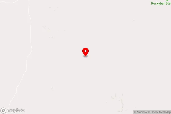
-25.6847416,150.2808291 (latitude/longitude)Bungaban Area Map (Street)
Longitude
150.1961669Latitude
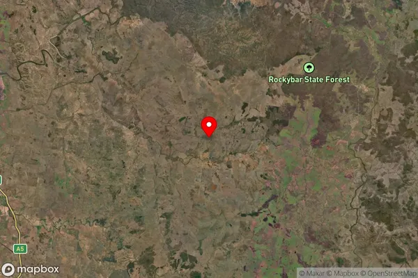
-25.90298001Bungaban Suburb Map (Satellite)
Distances
The distance from Bungaban, Central Queensland, QLD to AU Greater Capital CitiesSA1 Code 2011
30802119410SA1 Code 2016
30804152803SA2 Code
308041528SA3 Code
30804SA4 Code
308RA 2011
4RA 2016
4MMM 2015
6MMM 2019
6Charge Zone
Q2LGA Region
Western DownsLGA Code
37310Electorate
Maranoa