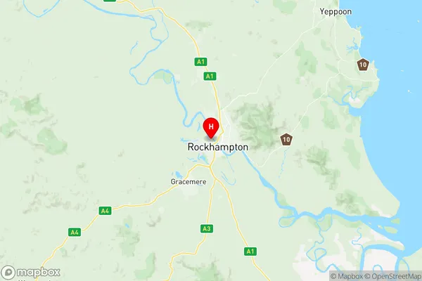
Rockhampton West Suburbs & Region, Rockhampton West Map & Postcodes
Rockhampton West Suburbs & Region, Rockhampton West Map & Postcodes in Rockhampton West, Rockhampton, Fitzroy, QLD, AU
Rockhampton West Region
Region Name
Rockhampton West (QLD, AU)Rockhampton West Area
34.55 square kilometers (34.55 ㎢)Postal Codes
4700 (In total, there are 1 postcodes in Rockhampton West.)Rockhampton West Introduction
Rockhampton West is a locality in the City of Fitzroy, Queensland, Australia. It is located 6 km west of the CBD. Rockhampton West has a population of around 1,500 people and is known for its historic buildings and beautiful parks. The area was originally settled by Europeans in the 1860s and was named after Rockhampton, the capital of Queensland. The local primary school is Rockhampton West State School, and there are several churches and other religious institutions in the area. The suburb also has a community center and a sports oval. Rockhampton West is a popular residential area due to its convenient location and affordable housing. It is also close to several major transport routes, making it easy to access other parts of the city and region.Australia State
City or Big Region
Greater Capital City
Rest of Qld (3RQLD)District or Regional Area
Suburb Name
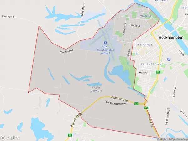
Rockhampton West Region Map

Rockhampton West Postcodes / Zip Codes
Rockhampton West Suburbs
Rockhampton West full address
Rockhampton West, Rockhampton, Fitzroy, Queensland, QLD, Australia, SaCode: 308031216Country
Rockhampton West, Rockhampton, Fitzroy, Queensland, QLD, Australia, SaCode: 308031216
Rockhampton West Suburbs & Region, Rockhampton West Map & Postcodes has 0 areas or regions above, and there are 3 Rockhampton West suburbs below. The sa2code for the Rockhampton West region is 308031216. Its latitude and longitude coordinates are -23.3667,150.5. Rockhampton West area belongs to Australia's greater capital city Rest of Qld.
Rockhampton West Suburbs & Localities
1. Wandal
2. West Rockhampton
3. Fairy Bower
