West Rockhampton Area, West Rockhampton Postcode(4700) & Map in West Rockhampton, Central Queensland, QLD
West Rockhampton Area, West Rockhampton Postcode(4700) & Map in West Rockhampton, Central Queensland, QLD, AU, Postcode: 4700
West Rockhampton, Rockhampton - West, Rockhampton, Central Queensland, Queensland, Australia, 4700
West Rockhampton Postcode
Area Name
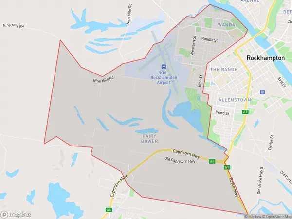
West RockhamptonWest Rockhampton Suburb Area Map (Polygon)
West Rockhampton Introduction
West Rockhampton is a suburb of Rockhampton, Queensland, Australia, located approximately 5 km west of the city center. It is known for its natural beauty, including the Rockhampton Botanic Gardens and Mount Archer National Park. The suburb has a population of approximately 10,000 people and is home to a variety of businesses and amenities, including schools, shopping centers, and healthcare facilities.State Name
City or Big Region
District or Regional Area
Suburb Name
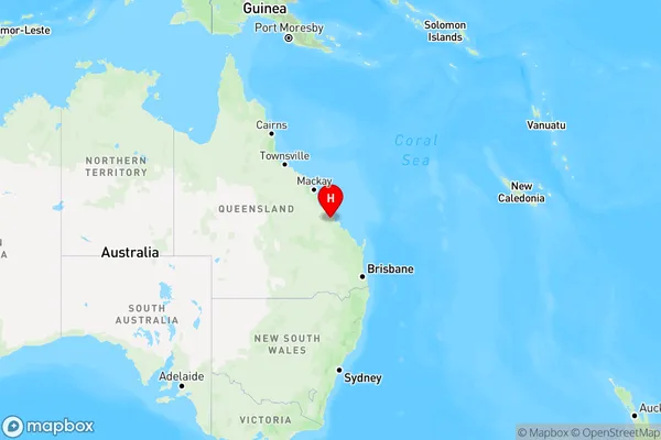
West Rockhampton Region Map
Country
Main Region in AU
R3Coordinates
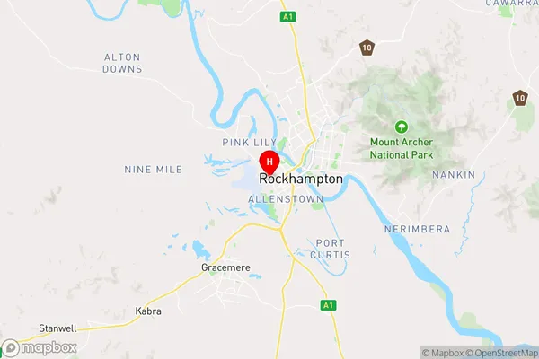
-23.3789,150.4894 (latitude/longitude)West Rockhampton Area Map (Street)
Longitude
150.958111Latitude
-23.180174West Rockhampton Elevation
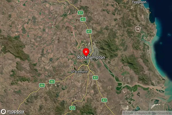
about 84.72 meters height above sea level (Altitude)West Rockhampton Suburb Map (Satellite)
Distances
The distance from West Rockhampton, Central Queensland, QLD to AU Greater Capital CitiesSA1 Code 2011
30803121614SA1 Code 2016
30803121614SA2 Code
308031216SA3 Code
30803SA4 Code
308RA 2011
2RA 2016
2MMM 2015
2MMM 2019
2Charge Zone
Q3LGA Region
RockhamptonLGA Code
36370Electorate
Flynn