Tully Suburbs & Region, Tully Map & Postcodes
Tully Suburbs & Region, Tully Map & Postcodes in Tully, Innisfail Cassowary Coast, Cairns, QLD, AU
Tully Region
Region Name
Tully (QLD, AU)Tully Area
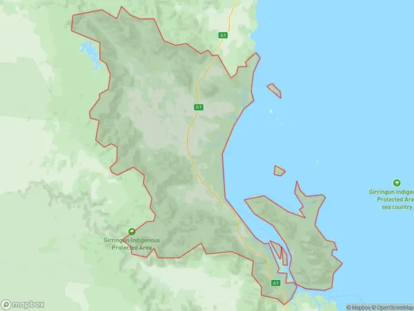
3065 square kilometers (3,065 ㎢)Tully Suburb Area Map (Polygon)
Tully Introduction
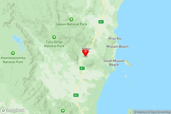
Tully is a locality in the Cairns Region, Queensland, Australia. It is one of the northernmost suburbs of Cairns and is located about 14 kilometers north of the city center. The suburb is named after the Tully River, which flows through it. Tully has a population of around 11,000 people and is known for its lush tropical rainforest, beautiful beaches, and vibrant community. The suburb has a number of parks and recreational facilities, including a swimming pool, tennis courts, and a golf course. Tully is also home to a number of schools, including Tully State High School and Tully Primary School. The suburb is surrounded by a number of tourist attractions, including the Great Barrier Reef and the Cairns Tropical Zoo.Australia State
City or Big Region
Greater Capital City
Rest of Qld (3RQLD)District or Regional Area
Suburb Name
Tully Region Map
Tully Suburbs
Tully full address
Tully, Innisfail Cassowary Coast, Cairns, Queensland, QLD, Australia, SaCode: 306031161Country
Tully, Innisfail Cassowary Coast, Cairns, Queensland, QLD, Australia, SaCode: 306031161
Tully Suburbs & Region, Tully Map & Postcodes has 0 areas or regions above, and there are 0 Tully suburbs below. The sa2code for the Tully region is 306031161. Its latitude and longitude coordinates are -17.9153,145.953. Tully area belongs to Australia's greater capital city Rest of Qld.