Carruchan Area, Carruchan Postcode(4816) & Map in Carruchan, Cairns, QLD
Carruchan Area, Carruchan Postcode(4816) & Map in Carruchan, Cairns, QLD, AU, Postcode: 4816
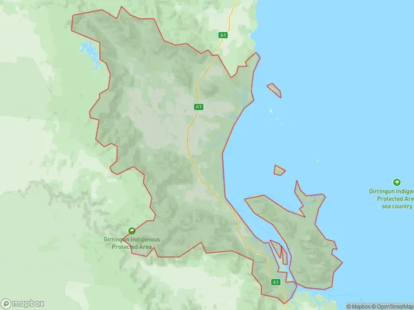
Carruchan, Tully, Innisfail - Cassowary Coast, Cairns, Queensland, Australia, 4816
Carruchan Postcode
Area Name
CarruchanCarruchan Suburb Area Map (Polygon)
Carruchan Introduction
Carruchan is a suburb of Cairns, Queensland, Australia, located 11 kilometers from the city center. It is known for its natural beauty, including the nearby Barron Gorge National Park and the Cairns Esplanade. Carruchan has a population of approximately 10,000 people and is a popular destination for tourists and locals alike.State Name
City or Big Region
District or Regional Area
Suburb Name
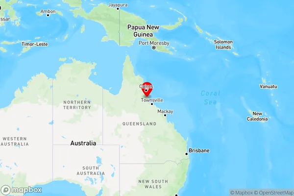
Carruchan Region Map
Country
Main Region in AU
R3Coordinates
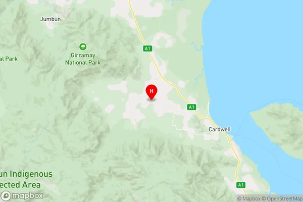
-18.2317606,145.9372835 (latitude/longitude)Carruchan Area Map (Street)
Longitude
146.791529Latitude
-19.787858Carruchan Elevation
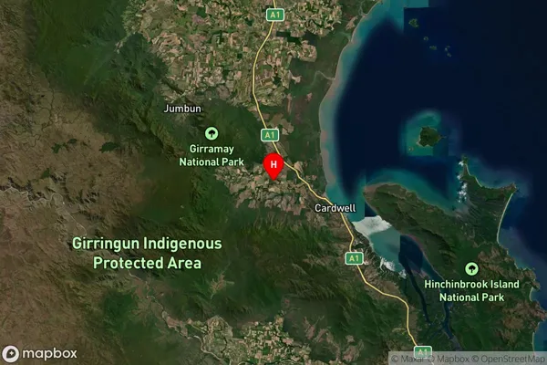
about 38.26 meters height above sea level (Altitude)Carruchan Suburb Map (Satellite)
Distances
The distance from Carruchan, Cairns, QLD to AU Greater Capital CitiesSA1 Code 2011
30603116122SA1 Code 2016
30603116122SA2 Code
306031161SA3 Code
30603SA4 Code
306RA 2011
4RA 2016
4MMM 2015
6MMM 2019
6Charge Zone
Q4LGA Region
TownsvilleLGA Code
37010Electorate
Kennedy