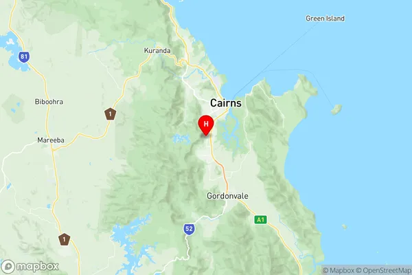
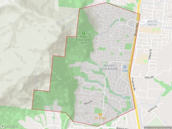
Mount Sheridan Suburbs & Region, Mount Sheridan Map & Postcodes
Mount Sheridan Suburbs & Region, Mount Sheridan Map & Postcodes in Mount Sheridan, Cairns South, Cairns, QLD, AU
Mount Sheridan Region
Region Name
Mount Sheridan (QLD, AU)Mount Sheridan Area
6.74 square kilometers (6.74 ㎢)Postal Codes
4868 (In total, there are 1 postcodes in Mount Sheridan.)Mount Sheridan Introduction
Mount Sheridan is a mountain located in the Cairns Region, Queensland, Australia. It is part of the Atherton Tablelands and is a popular hiking and picnic spot. The mountain is named after Sir John Sheridan, who was a governor of Queensland from 1888 to 1892. The mountain is home to a variety of plant and animal species, including the endangered southern cassowary. The mountain is also a popular filming location, with several movies and TV shows having been shot there.Australia State
City or Big Region
Greater Capital City
Rest of Qld (3RQLD)District or Regional Area
Suburb Name
Mount Sheridan Region Map

Mount Sheridan Postcodes / Zip Codes
Mount Sheridan Suburbs
Mount Sheridan full address
Mount Sheridan, Cairns South, Cairns, Queensland, QLD, Australia, SaCode: 306021153Country
Mount Sheridan, Cairns South, Cairns, Queensland, QLD, Australia, SaCode: 306021153
Mount Sheridan Suburbs & Region, Mount Sheridan Map & Postcodes has 0 areas or regions above, and there are 1 Mount Sheridan suburbs below. The sa2code for the Mount Sheridan region is 306021153. Its latitude and longitude coordinates are -16.9867,145.733. Mount Sheridan area belongs to Australia's greater capital city Rest of Qld.
Mount Sheridan Suburbs & Localities
1. Mount Sheridan
