Mount Sheridan Area, Mount Sheridan Postcode(4868) & Map in Mount Sheridan, Cairns, QLD
Mount Sheridan Area, Mount Sheridan Postcode(4868) & Map in Mount Sheridan, Cairns, QLD, AU, Postcode: 4868
Mount Sheridan, Mount Sheridan, Cairns - South, Cairns, Queensland, Australia, 4868
Mount Sheridan Postcode
Area Name
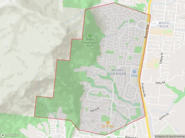
Mount SheridanMount Sheridan Suburb Area Map (Polygon)
Mount Sheridan Introduction
Mount Sheridan is a mountain located in Cairns, Queensland, Australia. It is part of the McAlister Range and has an elevation of 1,222 meters (4,009 feet). The mountain is known for its scenic views and is a popular destination for hiking and camping.State Name
City or Big Region
District or Regional Area
Suburb Name
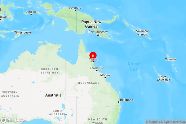
Mount Sheridan Region Map
Country
Main Region in AU
R3Coordinates
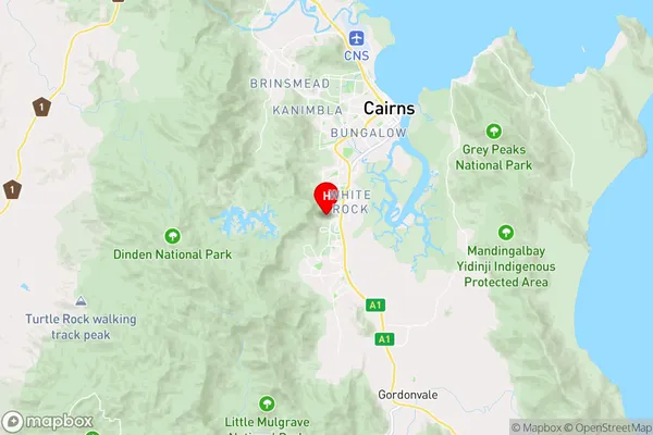
-16.9866642,145.7328348 (latitude/longitude)Mount Sheridan Area Map (Street)
Longitude
145.729193Latitude
-16.993753Mount Sheridan Elevation
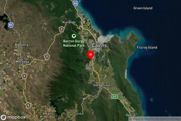
about 64.22 meters height above sea level (Altitude)Mount Sheridan Suburb Map (Satellite)
Distances
The distance from Mount Sheridan, Cairns, QLD to AU Greater Capital CitiesSA1 Code 2011
30602115307SA1 Code 2016
30602115307SA2 Code
306021153SA3 Code
30602SA4 Code
306RA 2011
3RA 2016
3MMM 2015
2MMM 2019
2Charge Zone
Q4LGA Region
YarrabahLGA Code
37600Electorate
Leichhardt