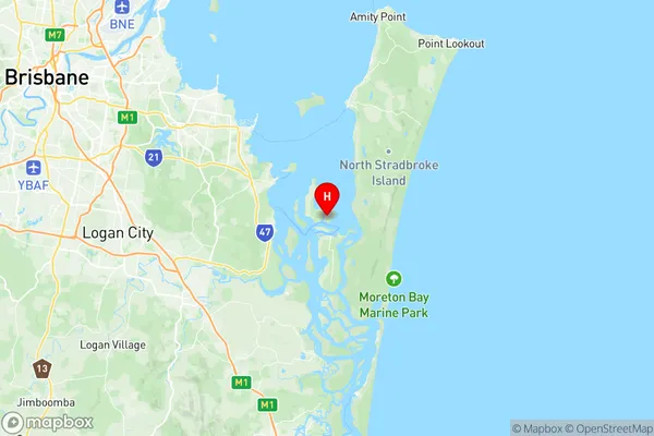
Redland Islands Suburbs & Region, Redland Islands Map & Postcodes
Redland Islands Suburbs & Region, Redland Islands Map & Postcodes in Redland Islands, Cleveland Stradbroke, Brisbane East, QLD, AU
Redland Islands Region
Region Name
Redland Islands (QLD, AU)Postal Codes
4183, and 4184 (In total, there are 2 postcodes in Redland Islands.)Redland Islands Introduction
The Redland Islands are a group of islands located in the Brisbane River, just east of Brisbane, Queensland, Australia. The islands are a popular destination for tourists and locals alike, with many activities to enjoy, including swimming, fishing, kayaking, and hiking. The islands are also home to a variety of wildlife, including birds, reptiles, and mammals. The Redland Islands are a beautiful and unique part of the Brisbane region, and are worth a visit for anyone looking to enjoy the natural beauty of Queensland.Australia State
City or Big Region
District or Regional Area
Suburb Name
Redland Islands Region Map

Redland Islands Postcodes / Zip Codes
Redland Islands Suburbs
Redland Islands full address
Redland Islands, Cleveland Stradbroke, Brisbane East, Queensland, QLD, Australia, SaCode: 301021527Country
Redland Islands, Cleveland Stradbroke, Brisbane East, Queensland, QLD, Australia, SaCode: 301021527
Redland Islands Suburbs & Region, Redland Islands Map & Postcodes has 0 areas or regions above, and there are 12 Redland Islands suburbs below. The sa2code for the Redland Islands region is 301021527. Its latitude and longitude coordinates are -27.6262,153.377.
Redland Islands Suburbs & Localities
1. Amity
2. Karragarra Island
3. Macleay Island
4. Coochiemudlo Island
5. Lamb Island
6. Amity Point
7. North Stradbroke Island
8. Peel Island
9. Perulpa Island
10. Dunwich
11. Point Lookout
12. Russell Island
