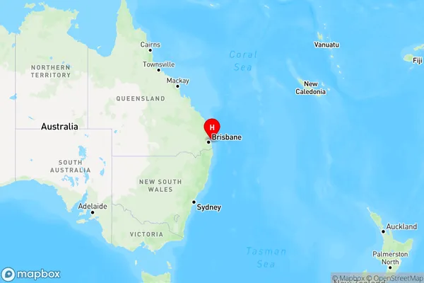
Amity Area, Amity Postcode(4183) & Map in Amity, Brisbane - East, QLD
Amity Area, Amity Postcode(4183) & Map in Amity, Brisbane - East, QLD, AU, Postcode: 4183
Amity, Redland Islands, Cleveland - Stradbroke, Brisbane - East, Queensland, Australia, 4183
Amity Postcode
Area Name
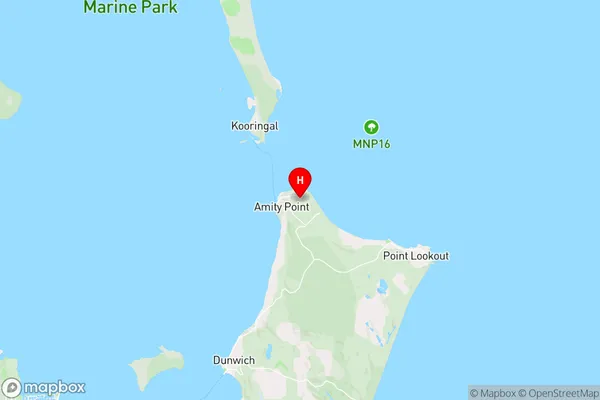
AmityAmity Suburb Area Map (Polygon)

Amity Introduction
Amity is a suburb in the City of Brisbane, Queensland, Australia. It is located 7 kilometers east of the Brisbane CBD and has a population of around 10,000 people. Amity is known for its peaceful atmosphere, tree-lined streets, and well-maintained parks. It is also home to several schools, including Amity College and Amity State High School. The suburb has a variety of shopping centers, including Amity Plaza and Amity Village, and is well-connected to public transport, with several bus routes and the East Coast railway line passing through it.State Name
City or Big Region
District or Regional Area
Suburb Name
Amity Region Map

Country
Main Region in AU
R3Coordinates
-27.3972508,153.4537599 (latitude/longitude)Amity Area Map (Street)

Longitude
153.451696Latitude
-27.545157Amity Elevation
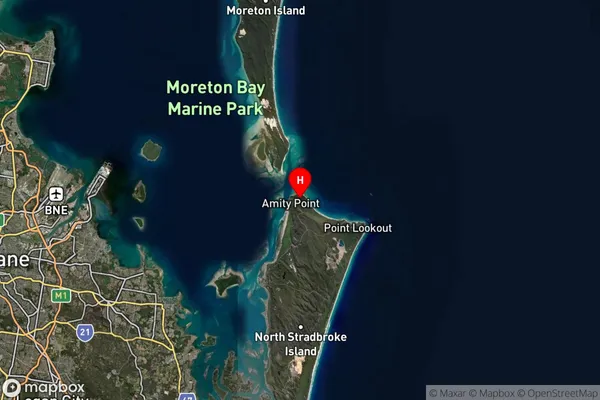
about 120.31 meters height above sea level (Altitude)Amity Suburb Map (Satellite)

Distances
The distance from Amity, Brisbane - East, QLD to AU Greater Capital CitiesSA1 Code 2011
30102101015SA1 Code 2016
30102152711SA2 Code
301021527SA3 Code
30102SA4 Code
301RA 2011
3RA 2016
4MMM 2015
5MMM 2019
6Charge Zone
Q1LGA Region
RedlandLGA Code
36250Electorate
Bowman