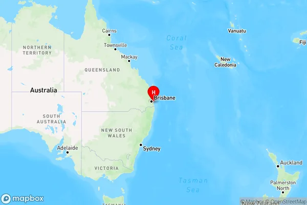
Lamb Island Area, Lamb Island Postcode(4184) & Map in Lamb Island, Brisbane - East, QLD
Lamb Island Area, Lamb Island Postcode(4184) & Map in Lamb Island, Brisbane - East, QLD, AU, Postcode: 4184
Lamb Island, Redland Islands, Cleveland - Stradbroke, Brisbane - East, Queensland, Australia, 4184
Lamb Island Postcode
Area Name
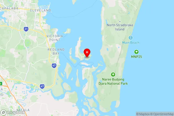
Lamb IslandLamb Island Suburb Area Map (Polygon)

Lamb Island Introduction
Lamb Island is a small island in the Brisbane River, located in the East End of Brisbane, Queensland, Australia. It is a popular spot for picnics, barbecues, and water activities such as kayaking and paddleboarding. The island has a peaceful atmosphere and is surrounded by beautiful parklands and gardens. It is also home to a variety of wildlife, including birds, fish, and insects. Lamb Island is accessible by ferry from the Brisbane CBD and offers a unique and relaxing escape from the hustle and bustle of the city.State Name
City or Big Region
District or Regional Area
Suburb Name
Lamb Island Region Map

Country
Main Region in AU
R3Coordinates
-27.6261767,153.3770931 (latitude/longitude)Lamb Island Area Map (Street)

Longitude
153.384655Latitude
-27.676499Lamb Island Elevation
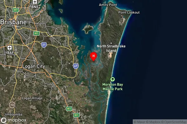
about 9.31 meters height above sea level (Altitude)Lamb Island Suburb Map (Satellite)

Distances
The distance from Lamb Island, Brisbane - East, QLD to AU Greater Capital CitiesSA1 Code 2011
30102101012SA1 Code 2016
30102152702SA2 Code
301021527SA3 Code
30102SA4 Code
301RA 2011
3RA 2016
3MMM 2015
5MMM 2019
6Charge Zone
Q1LGA Region
RedlandLGA Code
36250Electorate
Bowman