Rushworth Suburbs & Region, Rushworth Map & Postcodes
Rushworth Suburbs & Region, Rushworth Map & Postcodes in Rushworth, Shepparton, VIC, AU
Rushworth Region
Region Name
Rushworth (VIC, AU)Rushworth Area
1634 square kilometers (1,634 ㎢)Postal Codes
3551, from 3557 to 3559, 3612, 3623, and 3624 (In total, there are 7 postcodes in Rushworth.)Rushworth Suburb Area Map (Polygon)

Rushworth Introduction
Rushworth is a town in the Goulburn Valley region of Victoria, Australia. It is located 116 km north-east of Melbourne and 14 km south-west of Shepparton. The town is named after the explorer William Rushworth, who passed through the area in 1836. The town has a population of around 10,000 people and is known for its agricultural industry, with many farms producing wheat, cotton, and other crops. The town also has a historic railway station, a golf course, and a variety of recreational facilities.Australia State
City or Big Region
Greater Capital City
Rest of Vic. (2RVIC)District or Regional Area
Suburb Name
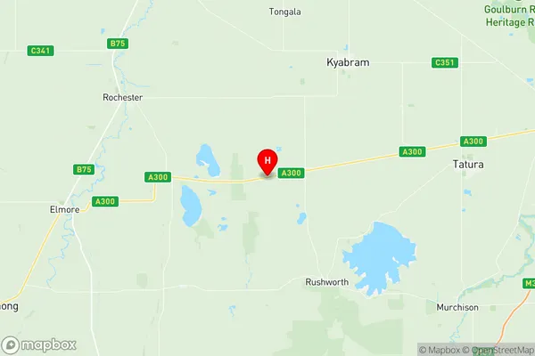
Rushworth Region Map
Rushworth Postcodes / Zip Codes
Rushworth Suburbs
Rushworth full address
Rushworth, Shepparton, Victoria, VIC, Australia, SaCode: 216011410Country
Rushworth, Shepparton, Victoria, VIC, Australia, SaCode: 216011410
Rushworth Suburbs & Region, Rushworth Map & Postcodes has 0 areas or regions above, and there are 23 Rushworth suburbs below. The sa2code for the Rushworth region is 216011410. Its latitude and longitude coordinates are -36.457,144.924. Rushworth area belongs to Australia's greater capital city Rest of Vic..
Rushworth Suburbs & Localities
1. Cornella
2. Myola
3. Myola East
4. Toolleen
5. Muskerry
6. Muskerry East
7. Burnewang
8. Corop West
9. Runnymede
10. Burramboot
11. Colbinabbin
12. Corop
13. Gobarup
14. Lyndale
15. Runnymede
16. Moora
17. Rushworth
18. Wanalta
19. Waranga
20. Waranga Shores
21. Carag Carag
22. Stanhope
23. Girgarre