Stanhope Area, Stanhope Postcode(3623) & Map in Stanhope, Shepparton, VIC
Stanhope Area, Stanhope Postcode(3623) & Map in Stanhope, Shepparton, VIC, AU, Postcode: 3623
Stanhope, Rushworth, Campaspe, Shepparton, Victoria, Australia, 3623
Stanhope Postcode
Area Name
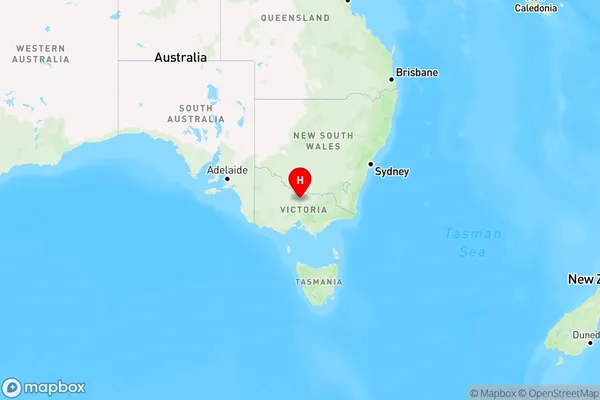
StanhopeStanhope Suburb Area Map (Polygon)

Stanhope Introduction
Stanhope is a suburb of Shepparton, Victoria, Australia. It is located in the Goulburn Valley region and is named after Sir Charles Stanhope, a British politician. The suburb has a population of around 10,000 people and is known for its agricultural industry, with many farms and wineries located in the area. Stanhope also has a historic railway station and a variety of shops and cafes.State Name
City or Big Region
District or Regional Area
Suburb Name
Stanhope Region Map

Country
Main Region in AU
R3Coordinates
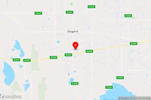
-36.4388545,144.9883506 (latitude/longitude)Stanhope Area Map (Street)

Longitude
144.976813Latitude
-36.461381Stanhope Elevation
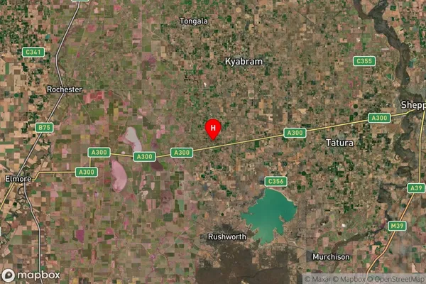
about 106.52 meters height above sea level (Altitude)Stanhope Suburb Map (Satellite)

Distances
The distance from Stanhope, Shepparton, VIC to AU Greater Capital CitiesSA1 Code 2011
21601141001SA1 Code 2016
21601141001SA2 Code
216011410SA3 Code
21601SA4 Code
216RA 2011
2RA 2016
2MMM 2015
5MMM 2019
5Charge Zone
V2LGA Region
CampaspeLGA Code
21370Electorate
Nicholls